What is recorded here
Clear water still touches the east edge where Patrick is said to have planted the first chapel. Inside the grave yard two broken churches and a small tomb shrine wait beneath grass, while a tall ringed cross stands guard at the western entrance. In 2010 a forgotten cross-slab reappeared near the north wall, its ring and projecting arms emerging from soil that had kept the shape for centuries.
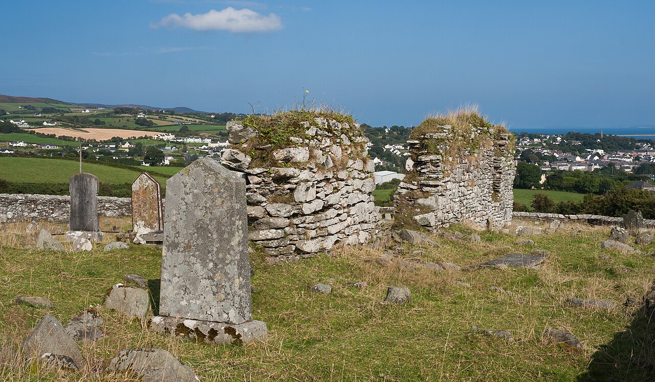
The early ecclesiastical site here consists of a sub-rectangular shaped graveyard inside of which are a number of earlier features. The site is located on excellent land sloping to Lough Foyle to the E and is traditionally claimed to have been founded by St. Patrick (Gwynn and Hadcock 1970, 399; Lacy et. al. 1983, 261). To the W outside the entrance to the graveyard (DG021-008001-) is a tall, plain, ringed high-cross (DG021-008005-). Inside the graveyard are the remains of two churches (DG021-008002-/003-) and a mortuary house or tomb shrine (DG021-008004-). One of the churches served as a medieval parish church (Leslie 1937, 265).
A fragment of a broken cross-slab (DG021-008008-) with a ringed-cross the arms of which project beyond the ring was found to the N of the S Church (DG021-008002-) lying close to the N wall of the graveyard. This cross-slab appears to have been discovered during a graveyard clean-up scheme carried out in 2010. A graveyard plan drawn by the Cooley Cross Heritage Committee shows location of cross-slab as number 14.
The attached image (DG021-008008-_03.jpg) is a plan of the church and graveyard commissioned by the Cooley Cross Heritage Committee showing location of cross-slab number 14 inside graveyard.
The above description was derived from the 'Archaeological Survey of County Donegal. A description of the field antiquities of the County from the Mesolithic Period to the 17th century.' Compiled by: Brian Lacey with Eamon Cody, Claire Cotter, Judy Cuppage, Noel Dunne, Vincent Hurley, Celie O'Rahilly, Paul Walsh and Seán Ó Nualláin (Lifford: Donegal County Council, 1983). In certain instances the entries have been revised and updated.
Compiled by: Caimin O'Brien
Date of revised upload: 24 February 2015
Probably dating to the early Christian period (5th–9th century AD), the cross-slab likely served a commemorative or liturgical function within a monastic or ecclesiastical setting. Such stones often carried Christian iconography and may have been associated with burial practices or territorial markers.
The monument record does not grant public access. Check the route and ask the landowner before entering private land.
- What survives
- Recorded monument
Places near here
 Cooly Ring-Headed Cross SlabCross-slab · 11 yd
 Cooly Graveyardgraveyard/cemetery · 12 yd
 Cooly Monk StoneStone sculpture · 13 yd
 Church (In Ruins)Church · 20 yd
 Cooley CrossMemorial · 43 yd
 Castle CaryCastle, unclassified · 1.7 mi
 CrockavishaneMountain / peak · 2.1 mi
 CrockaulinMountain / peak · 2.8 mi
 Inishowen Maritime Museum and PlanetariumMuseum · 3.1 mi
 Site of Red CastleCastle, unclassified · 3.2 mi
 Sweet Nellie'sBeach / strand · 4.7 mi
 White StrandBeach / strand · 5.1 mi