What is recorded here
Cross-slab (KE079-056005-): This slab is located just SE of the leacht and inclines heavily to SW. It measures .95m long, .32m wide at the top and is .07m thick. The SW face bears an encircled linear cross whose outline has been damaged by spalling. The shaft of the cross extends beyond the circle, curves slightly, and merges with a natural fissure. The NE face of the slab features a second, encircled, linear cross.
The above description is derived from A. O'Sullivan and J. Sheehan (compilers), 'The Iveragh peninsula: an archaeological survey of South Kerry'. Cork University Press (1996), no. 932. In certain instances the entries have been revised and updated in the light of recent research.
Date of upload: 30 July 2013
This cross-slab, likely dating to the early medieval period (5th–10th century), may have served a Christian commemorative or waymarking function. The encircled linear cross is a common motif in Irish high crosses, often associated with religious symbolism or territorial markers.
The monument record does not grant public access. Check the route and ask the landowner before entering private land.
- What survives
- Recorded monument
Places near here
 Church in Beginish (iveragh By.)Church · 14 yd
 Beginish IslandIsland · 312 yd
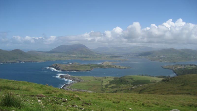 Enclosure in Beginish (iveragh By.)Enclosure · 367 yd
 Field system in Beginish (iveragh By.)Field system · 756 yd
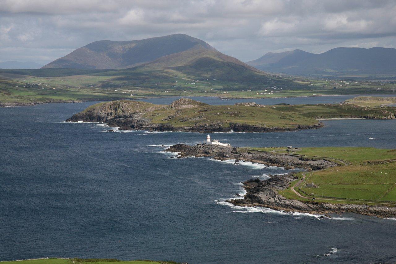 Valentia Front Leading LightLighthouse · 1114 yd
 Valentia Island LighthouseMuseum · 1438 yd
 Cromwell PointHeadland · 1451 yd
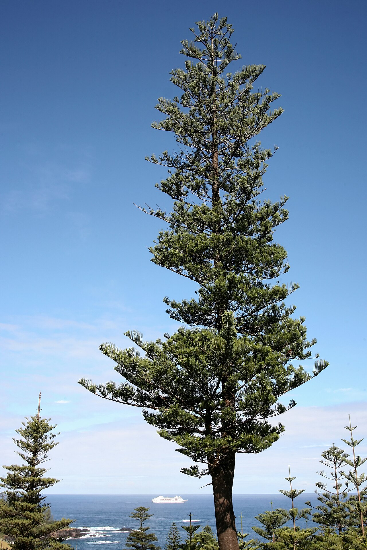 Norfolk Island AraucariaNorfolk Island Araucaria · 1565 yd
 Silver tree fernSilver tree fern · 1566 yd
 Kilbeg MountainMountain / peak · 1.1 mi
 White Strand BeachBeach / strand · 1.3 mi
 Killelan MountainMountain / peak · 1.6 mi