What is recorded here
Located 1.8m N of another cross-slab (KE106-007009-), this slab is .57m high and measures .16m x .lm at base. It has a single-line Latin cross located low down on its W face.
The above description is derived from O'Sullivan, A. and Sheehan, J. (compilers) 'The Iveragh peninsula: an archaeological survey of South Kerry'. Cork University press. (1996), no. 963. In certain instances the entries have been revised and updated in the light of recent research.
Date of upload: 13 June 2013
This cross-slab, dating likely to the early medieval period (6th to 10th century AD), may have served a Christian commemorative or waymarking function. The presence of a Latin cross suggests a Christian association, possibly linked to early monastic or ecclesiastical activity in the region.
The monument record does not grant public access. Check the route and ask the landowner before entering private land.
- What survives
- Recorded monument
Places near here
 Church in An LótharChurch · 4 yd
 Enclosure in An LótharEnclosure · 149 yd
 IndicatedEnclosure · 203 yd
 Farraniaragh MountainMountain / peak · 1299 yd
 Com An ChisteViewpoint · 1410 yd
 Binn Uí RuaircMountain / peak · 1420 yd
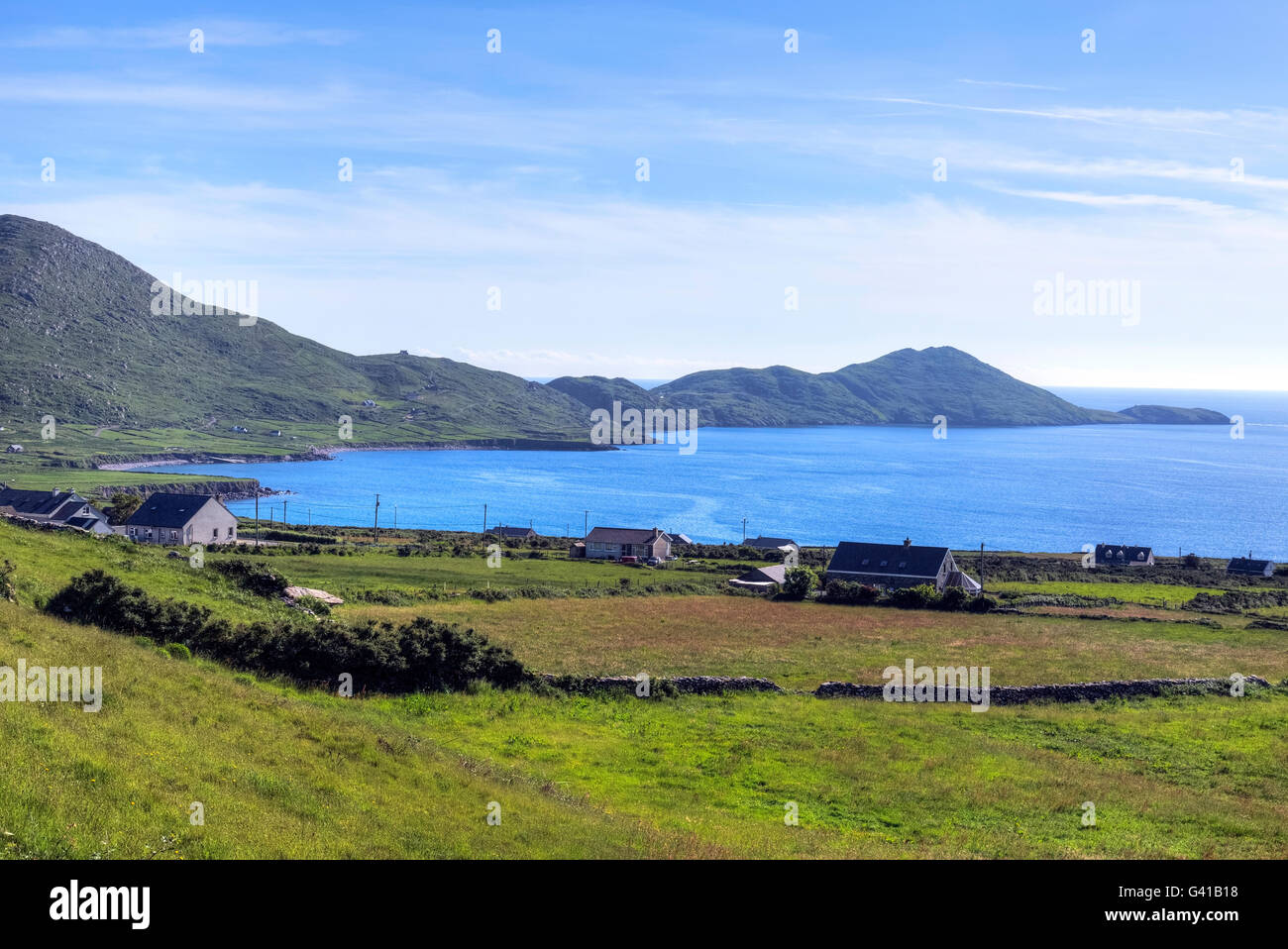 Hog's Head Signal TowerRuins · 1.6 mi
 Lamb's IslandIslet · 1.9 mi
 Páirc Náisiúnta Stairiúil Dhoire Fhíonáin / Derrynane National Historic ParkNature reserve · 2.1 mi
 Derrynane Bay Beach / Trá Bhá Doire FhionáinBeach / strand · 2.1 mi
 CastleCastle, tower house · 2.1 mi
 Derrynane House / Teach Dhoire FhionáinHeritage attraction · 2.2 mi