What is recorded here
Clear water in a dark place may have sustained lives before road builders took it for their own convenience. The flat cross slab still marks the lost well, preserving the shape of devotion after the water disappeared. St Nicholas gave the site its name and rhythm, while people walked the field three times to complete a vow. What is missing is not the truth but the cup of water that once proved it.
St. Nicholas's Well/Tobar Niocláis: This well is now dry. The water has been diverted to drain the field and it now issues about 100m downslope to N.
A cross-inscribed stone which stood 9 feet (2.7m) W of the well (OSNB Ballyduff, 18) now lies loose on the surface. It is a small, thin slab measuring .55m x .37m x .06m thick. On one face is a simple incised Latin cross, with T-bar terminals to head and arms. St. Nicholas is the patron Saint of Ballyduff Parish and the site was visited by large numbers of people on his feast day, the 6th of December. The field in which it is located is known as Páirc an Turasa and 3 circuits of the whole field were made as part of the turas (Ó Danachair 1960, 71).
Folklore collected from Ballyduff School about the Holy Well of St Nicholas (KE035-065001-) and the cross-inscribed slab recorded the following tradition; 'The Holy Well of St.Nicholas is situated in the townland of Liscarney, parish of Ballyduff, Castlegregory ,on the slope of a hill overlooking Brandon Bay. The waters of the well itself have been drained into an adjoining field but the site of the well is marked by a shallow depression. Overlooking it is a flat stone with an incised cross of which I give a sketch. The stone is uniquely shaped and is placed on a small mound at a distance of about two yards from the well' (The Schools’ Collection, Volume 0430, Page 103;https://www.duchas.ie/en/cbes/4687702/4685360).
See attached drawing of cross-slab taken from The Schools’ Collection, Volume 0430, Page 103
The above description is derived from J. Cuppage, ‘Corca Dhuibhne. Dingle Peninsula archaeological survey. Ballyferriter. Oidhreacht Chorca Dhuibhne’ (1986), no. 918. In certain instances the entries have been revised and updated in the light of recent research.
Revised by: Caimin O'Brien
Date of revised upload: 23 May 2022
The monument record does not grant public access. Check the route and ask the landowner before entering private land.
- What survives
- Recorded monument
Places near here
 St. Nicholass WellHoly well · 1 yd
 Site of ChurchChurch · 316 yd
 Church in Cill An UrdráinChurch · 654 yd
 Drom BeachBeach / strand · 1.1 mi
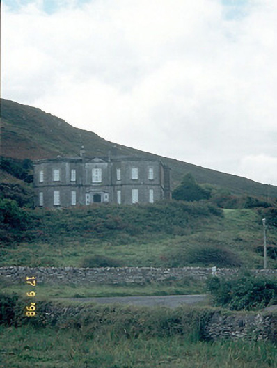 Fermoyle Househouse · 1.3 mi
 Site of CastleCastle, unclassified · 1.3 mi
 Hillville WoodWood · 1.4 mi
 Binn an TuairMountain / peak · 1.5 mi
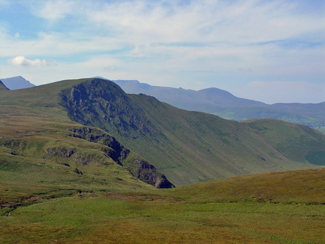 Gob an IolairMountain / peak · 1.7 mi
 An t'Oileán DubhIslet · 1.8 mi
 An CheapaighBeach / strand · 2.0 mi
 Pointe na CathrachHeadland · 2.7 mi