What is recorded here
On a narrow Donegal promontory where the land breaks west into cliff and sea, a thin standing stone rises a little over a metre high. Its western face carries a plain incised cross, and that mark alone still identifies the lost Coolkill burial ground. Whoever cut it worked quickly, perhaps for one person or one family, leaving no monument grand enough to forget. The stone remains because it pointed somewhere else: beneath the grass, beside the drop, in the dark soil under the wind.
The only indication of 'Coolkill Burial Ground' (DG005-002001-) marked on the 2nd and 3rd editions of the OS 6-inch maps, is the cross-inscribed standing stone (DG005-002002-) likewise marked on the maps. The stone is 1.2m high and is .15m thick with its long axis N-S. A simple cross is incised on the W face. The site is located on a small raised promontory to the N clearly defined by cliffs and with with a sharp drop to the W. (Swan 1949, 117).
The above description was derived from the 'Archaeological Survey of County Donegal. A description of the field antiquities of the County from the Mesolithic Period to the 17th century.' Compiled by: Brian Lacey with Eamon Cody, Claire Cotter, Judy Cuppage, Noel Dunne, Vincent Hurley, Celie O'Rahilly, Paul Walsh and Seán Ó Nualláin (Lifford: Donegal County Council, 1983). In certain instances the entries have been revised and updated.
Date of upload: 22 September 2008
The monument record does not grant public access. Check the route and ask the landowner before entering private land.
- What survives
- Recorded monument
Places near here
 Promontory fortPromontory fort, coastal · 552 yd
 Carthage EnclosureEnclosure · 1.4 mi
 CastleCastle, unclassified · 1.4 mi
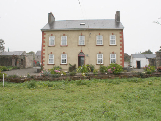 Carthage Househouse · 1.5 mi
 Bunagee Pierpier/jetty · 1.6 mi
 CuldaffOfficial bathing water · 2.1 mi
 Tremone BayBeach / strand · 5.3 mi
 Carndonagh Early Church GraveyardGraveyard · 6.2 mi
 The Spanish Armada 1588Memorial · 7.6 mi
 CrockavishaneMountain / peak · 8.6 mi
 CrockaulinMountain / peak · 9.2 mi
 Inishowen Maritime Museum and PlanetariumMuseum · 11 mi