
What is recorded here
One narrow causeway, two metres wide, leads to a coastal promontory where a seventy-five centimetre earthen bank still stands along the western edge. That much is known. What is missing is the life that moved across the causeway at low tide, watched the sea from the triangular platform, and decided when the fort was strong enough to trust. The dimensions are small, but they belong to a place where visibility, tide and fear would have mattered more than size.
A promontory approached by a natural causeway only 2.4m wide. Along the W side of the promontory is an earthen bank.75m high. There is also a roughly triangular (14.8m
N-S) platform in the interior.
The above description was derived from the 'Archaeological Survey of County Donegal. A description of the field antiquities of the County from the Mesolithic Period to the 17th century.' Compiled by: Brian Lacey with Eamon Cody, Claire Cotter, Judy Cuppage, Noel Dunne, Vincent Hurley, Celie O'Rahilly, Paul Walsh and Seán Ó Nualláin (Lifford: Donegal County Council, 1983). In certain instances the entries have been revised and updated.
Date of upload: 22 September 2008
The monument record does not grant public access. Check the route and ask the landowner before entering private land.
- What survives
- Recorded monument
Places near here
 Donowen Promontory FortPromontory fort, coastal · 1.1 mi
 CastleCastle, unclassified · 1.1 mi
 Iron Age Promontory FortArchaeological place · 1.1 mi
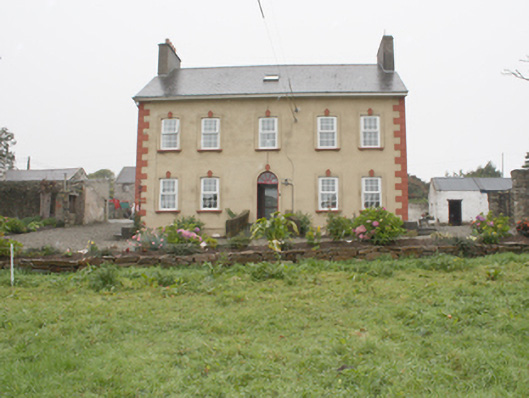 Carthage Househouse · 1.3 mi
 Bunagee Pierpier/jetty · 1.3 mi
 CuldaffOfficial bathing water · 1.8 mi
 Tremone BayBeach / strand · 5.0 mi
 Carndonagh Early Church GraveyardGraveyard · 6.2 mi
 The Spanish Armada 1588Memorial · 7.3 mi
 CrockavishaneMountain / peak · 8.3 mi
 CrockaulinMountain / peak · 8.8 mi
 Castle CaryCastle, unclassified · 10 mi
Other information
Photo: Credit not shown in the picture search · Rights wording not checked; contact us if this picture should be removed