What is recorded here
In pasture, on a gentle S-facing slope, to the NW of Riverstick. This monument constitutes the site of a cross-inscribed stone. According to local information, a cross-inscribed stone was formerly located at a mass-rock (CO098-082----). There is no visible trace of the mass-rock due to land reclamation. The cross-inscribed stone was moved to its present location (CO098-081----) c. 400m to the NE, where it is set into the external face of the E wall of a farm building.
The above description is derived from 'The Archaeological Inventory of County Cork. Volume 5' (Dublin: Stationery Office, 2009).
Date of upload: 22 December 2009
This remains an important historical record, but the official description says the monument is no longer visible or has been destroyed. The monument record does not grant public access. Check the route and ask the landowner before entering private land.
- What survives
- No visible remains or recorded as destroyed
Places near here
 St Johns Catholic ChurchChurch · 629 yd
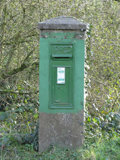 post boxpost box · 631 yd
 Curra WoodForest · 875 yd
 Dinny Barry MemorialMemorial · 1102 yd
 Fulacht fia in FahanalooscaneFulacht fia · 1661 yd
 Sunday's WellSpring · 1.1 mi
 Altar RockMass-rock · 1.1 mi
 St Laitiarain's WellSpring · 1.3 mi
 Cullen Castle (Site of)Castle, unclassified · 1.6 mi
 Dooneen WoodsWood · 1.8 mi
 Meadstown Castle (Site of)Castle, unclassified · 3.2 mi
 The Stone of DestinyMemorial · 4.5 mi