What is recorded here
Part of a group of five huts located about 80m ESE of KE087-022----. A carefully built drystone hut incorporating a series of twelve decorated stones. The motifs consist mainly of rough, equal-armed crosses, and display varying degrees of weathering.
Stone F: KE087-023007-;In the SW wall, close to the W angle. An irregularly shaped stone, .4m x .18m, featuring a rather deeply pocked cross with expanded terminals. Faint traces of an enclosing circle survive.
The above description is derived from A. O'Sullivan and J. Sheehan (compilers), 'The Iveragh peninsula: an archaeological survey of South Kerry'. Cork University Press (1996), no. 1137. In certain instances the entries have been revised and updated in the light of recent research.
Date of upload: 31 July 2013
The monument record does not grant public access. Check the route and ask the landowner before entering private land.
- What survives
- Recorded monument
Places near here
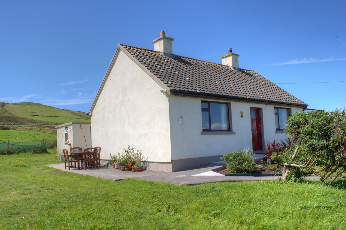 Hut site in BrayHut site · 9 yd
 Field boundary in BrayField boundary · 48 yd
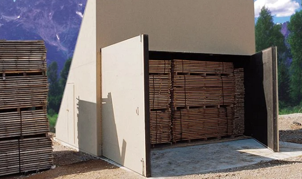 KilnKiln, corn-drying · 196 yd
 MillMill, unclassified · 464 yd
 Bray HeadMountain / peak · 722 yd
 Long IslandIslet · 1197 yd
 Horse IslandIslet · 1208 yd
 Telegraph Field Valentia IslandMemorial · 1.1 mi
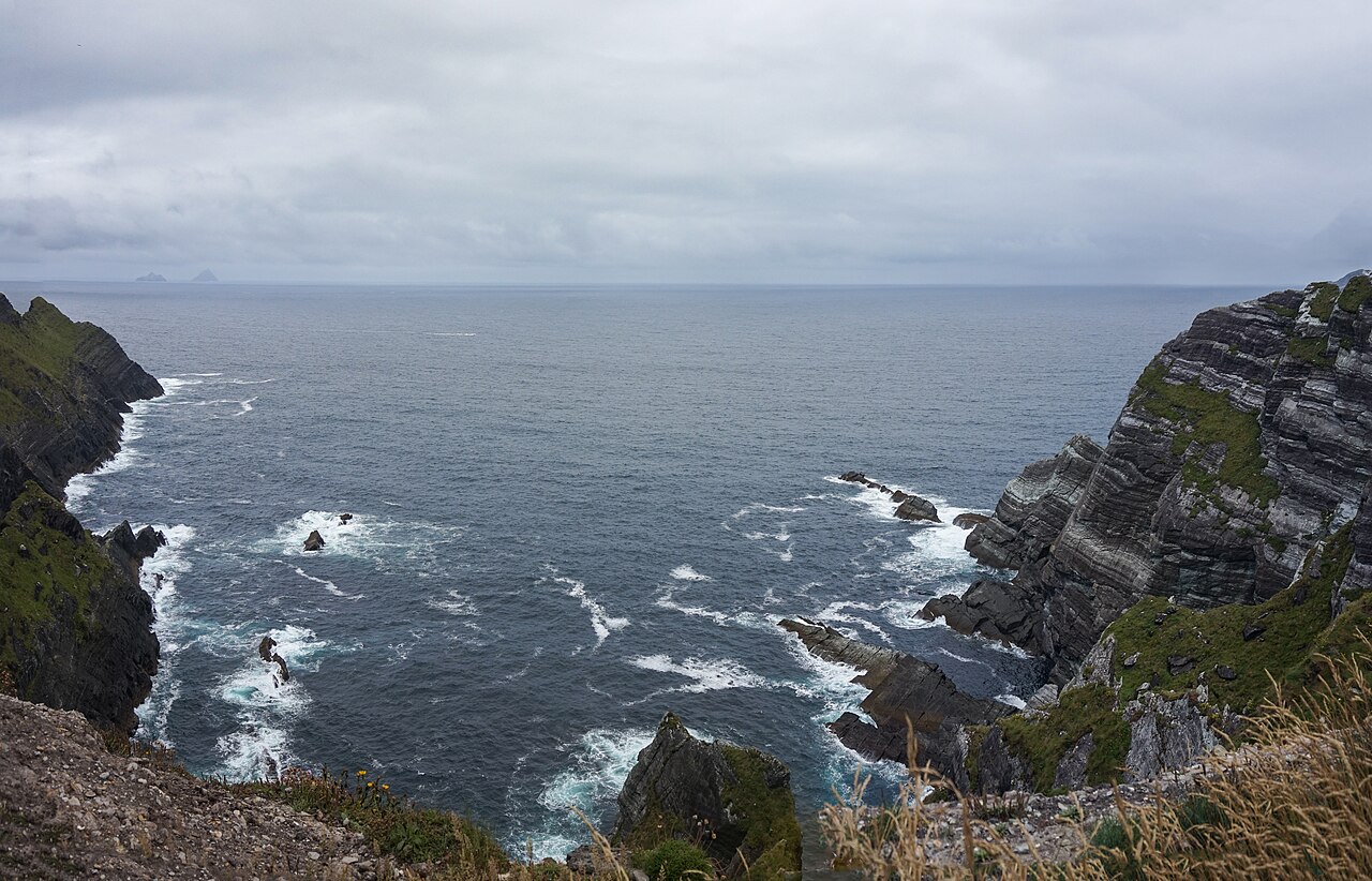 Kerry CliffsHeritage attraction · 1.7 mi
 Culloo RockViewpoint · 2.1 mi
 Sean LochaCliff · 2.5 mi
 Tráigh na SplinceBeach / strand · 2.5 mi