What is recorded here
Part of a group of five huts located about 80m ESE of KE087-022----. A carefully built drystone hut incorporating a series of twelve decorated stones. The motifs consist mainly of rough, equal-armed crosses, and display varying degrees of weathering.
Stone H: KE087-023009-;Close to the present top of the NW wall. A large, roughly rectangular stone, .84m x .21m. A cross with slightly expanded terminals featuring a small incised dot where the arms converge. Disposed on both sides of the cross, at slightly different levels, are two cross-in-circle motifs. That on the right is severely weathered.
The above description is derived from A. O'Sullivan and J. Sheehan (compilers), 'The Iveragh peninsula: an archaeological survey of South Kerry'. Cork University Press (1996), no. 1137. In certain instances the entries have been revised and updated in the light of recent research.
Date of upload: 31 July 2013
Probably dating to the Early Christian period (5th–9th centuries AD), the cross-inscribed stone likely served a ritual or symbolic function within a domestic or communal setting, reflecting the spiritual practices of early Christian communities in the area.
The monument record does not grant public access. Check the route and ask the landowner before entering private land.
- What survives
- Recorded monument
Places near here
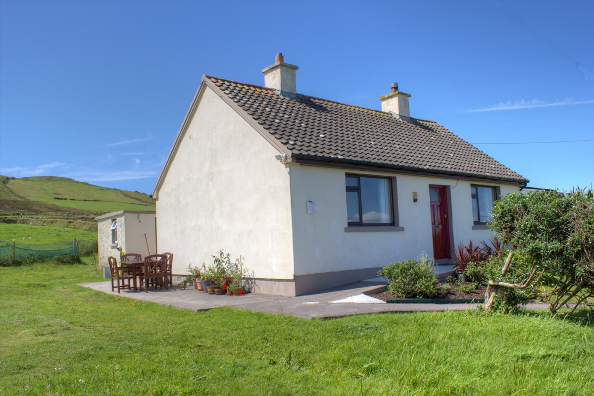 Hut site in BrayHut site · 11 yd
 Field boundary in BrayField boundary · 48 yd
 KilnKiln, corn-drying · 195 yd
 MillMill, unclassified · 459 yd
 Bray HeadMountain / peak · 722 yd
 Long IslandIslet · 1198 yd
 Horse IslandIslet · 1206 yd
 Telegraph Field Valentia IslandMemorial · 1.1 mi
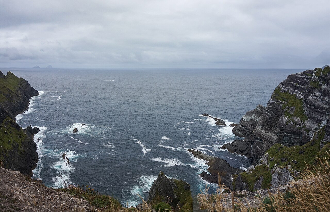 Kerry CliffsHeritage attraction · 1.7 mi
 Culloo RockViewpoint · 2.1 mi
 Sean LochaCliff · 2.5 mi
 Tráigh na SplinceBeach / strand · 2.6 mi