What is recorded here
In pasture, on a slight rise on level, elevated ground. Ground falls away c. 40m to S in a long, broad slope to a lowlying basin of reed-covered, marshy ground. There is a possible barrow (SL007-050----) c. 90m to NE, and a moated site (SL007-015----) c. 230m to NW. The cross-inscribed pillar, which formerly stood upright, lies propped against a rounded boulder. It consists of a rectangular sandstone block (L 1.18m; Wth 0.35m; T 0.15m), on one broad face of which there is a Latin cross (Total H 0.76m; Total Wth 0.32m across arms) with four branching crosslets. The cross is carved to a depth of c. 0.01m below the surface of the stone and fills much of the available space on the stone face. The terminals of the vertical cross shaft and the horizontal arms expand to a slightly concave splay. The base of the vertical shaft does not splay, but rests on a small incised circle (diam. 0.06m) which has a central boss (diam. 0.03m) in false relief. There is a similar central boss within an incised circle (diam. 0.05m) at the junction of the vertical shaft and the horizontal arms of the cross. Two small Latin crosses or crosslets (H 0.16m; Wth 0.09m) rise from the arms, one from the midpoint of each arm. A horizontal bar (L 0.2m) extends across the lower part of the vertical shaft of the main cross, with a crosslet (H 0.13m; Wth 0.09m) rising from each end, mirroring the crosslets on the main arms of the cross. The terminals of the four crosslets appear to be slightly splayed. The cross-inscribed pillar and the townland name suggest that there was an ecclesiastical site here; however, no convincing evidence of this is visible at ground level.
The unusual branching cross design on this pillar links it with the monastic settlement on Inishmurray Island, c. 9.5km to NW, where there is a collection of cross slabs (SL001-001054-; SL001-001078-; SL001-004005-; SL001-013002-; SL001-016002-) bearing almost identical designs.
Attached images:
SL007-017001-_01.JPG
SL007-017001-_02.JPG
Compiled by: Jane O’Shaughnessy
Date of upload: 24 October 2014
The monument record does not grant public access. Check the route and ask the landowner before entering private land.
- What survives
- Recorded monument
Places near here
 LisheenFairy fort / earthen ringfort · 444 yd
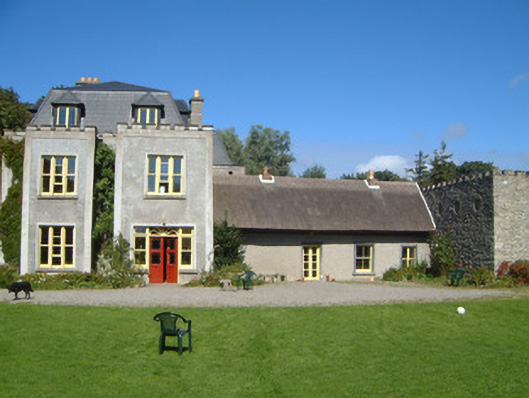 Ardtarmon Housecountry house · 863 yd
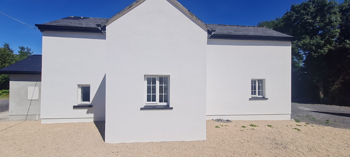 Enclosure in CloghcorEnclosure · 900 yd
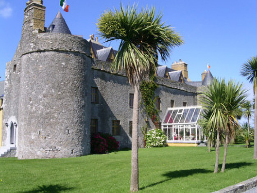 Ardtarmon Castlecastle/fortified house · 975 yd
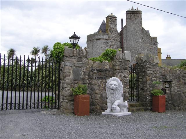 Bawn in ArdtermonBawn · 978 yd
 Ardtermon StrandBeach / strand · 1489 yd
 Yellow StrandBeach / strand · 1.2 mi
 Bawn in DoonforeBawn · 1.6 mi
 Coastguard StationRuins · 1.6 mi
 Horse IslandIslet · 1.9 mi
 Forester's WoodForest · 2.1 mi
 Church Hill WoodWood · 2.2 mi