What is recorded here
The Ordnance Survey Letters (1838-40) record that 'there is an ancient rath on the lands of Upper Templecarrig (WI008-038----), and a thorn bush, which they call the Cross Bush (from a cross having stood at the place formerly), into which people attending funerals threw each a stone when passing by with a corpse. It is on the old road leading from Templecarrig to Kilmacannoge, near Patt Kellys house'. (O'Flanagan 1928, 39).
Compiled by: Claire Breen
Date of upload: 05 February 2013
The monument record does not grant public access. Check the route and ask the landowner before entering private land.
- What survives
- Recorded monument
Places near here
 Little Sugar LoafMountain / peak · 747 yd
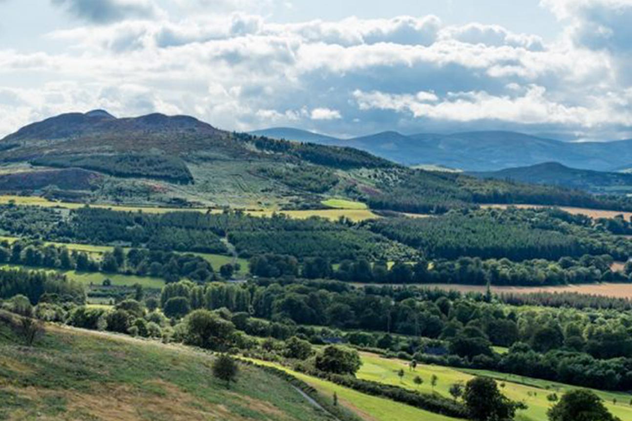 Belmont WayWalking route · 761 yd
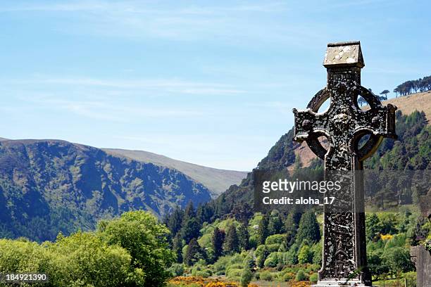 CrossCross, High cross · 974 yd
 Greystones WayWalking route · 1211 yd
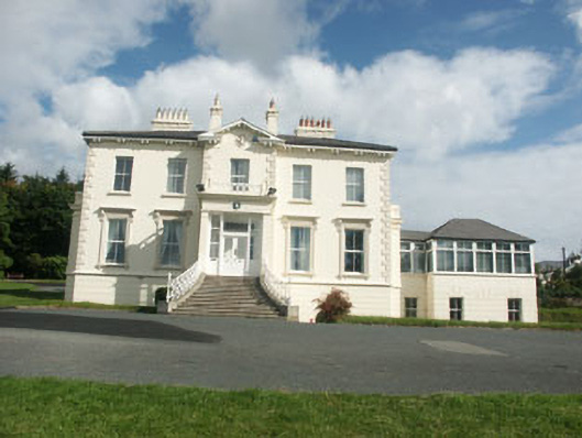 Belvedere Hallhouse · 1304 yd
 Ecclesiastical enclosure in Kilmurry North (rathdown By.)Ecclesiastical enclosure · 1454 yd
 Kindlestown WoodForest · 1568 yd
 Johnny Fox's MemorialMemorial · 1.0 mi
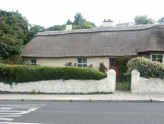 Rose Cottagehouse · 1.1 mi
 European YewEuropean Yew · 1.5 mi
 Rathdown Castle (in ruins)Castle, unclassified · 1.5 mi
 North BeachBeach / strand · 1.5 mi