What is recorded here
Cross described in 1996 as follows; 'This rough stone cross, of which one arm is missing, forms part of the SW side of the Monks' Graveyard [KE104A001046-]. H: 0.99m. W: 0.35m. T: 0.08m' (O'Sullivan and Sheehan 1996, 289, no. 948 (54)). The head of the cross is damaged.
The above description is derived from A. O'Sullivan and J. Sheehan (compilers), 'The Iveragh peninsula: an archaeological survey of South Kerry'. Cork University Press (1996), no. 948. In certain instances the entries have been revised and updated in the light of recent research.
Date of upload: 30 July 2013
The monument record does not grant public access. Check the route and ask the landowner before entering private land.
- What survives
- Recorded monument
Places near here
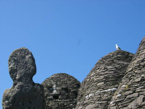 Church (in Ruins)Church · 17 yd
 Skellig MonasteryHeritage attraction · 34 yd
 North PeakMountain / peak · 62 yd
 Cross in Sceilg MhichílCross · 92 yd
 Sceilig MhichílIslet · 176 yd
 Enclosure in Sceilg MhichílEnclosure · 215 yd
 Church in Sceilg MhichílChurch · 263 yd
 Sceilg MhíchílMountain / peak · 287 yd
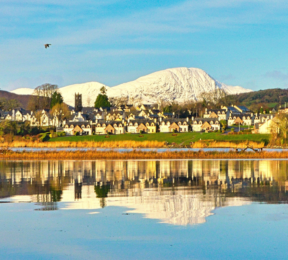 Pointe na bhFaoileannHeadland · 354 yd
 Sceilig BheagIslet · 1.5 mi
 LéimeHeadland · 6.8 mi
 Tráigh na SplinceBeach / strand · 8.5 mi