What is recorded here
Indicated in Curragh townland on the revised ed. of the OS 6-inch map and recorded as KK022-008----. This ‘small ancient cross' was identified in the 1850s and was described as being, 'evidently very old; the rubble work upon which its base is placed is modern, having been built by the country people, that by thus raising the cross it would look more important, as it is very small, and is called in Irish, 'Crois-gar,' or the little cross. The Rev. James Graves suggests that it may originally have been the gable cross of Ballycallan [medieval] church [KK018-072001-]' (Anon. 1854-5, 343-4). The church and graveyard (KK018-072002-) lie c. 1km NW of the cross.
Compiled by: Jean Farrelly
Date of upload: 3 February 2021
The monument record does not grant public access. Check the route and ask the landowner before entering private land.
- What survives
- Recorded monument
Places near here
 Grave YardGraveyard · 3 yd
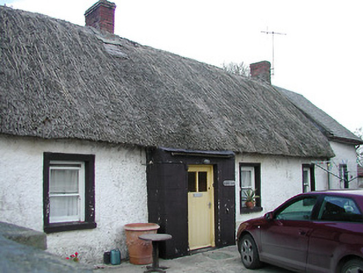 The Thatchhouse · 284 yd
 Enclosure in BallycallanEnclosure · 396 yd
 Saint Brigid's Catholic Churchchurch/chapel · 1027 yd
 Saint Brigid's WellSpring · 1405 yd
 Ballykeeffe Mass RockNamed rock · 1.1 mi
 Ballykeefe WoodForest · 1.4 mi
 Ballykeefe QuarryCliff · 1.7 mi
 Ballykeefe AmphitheatreHeritage attraction · 1.7 mi
 Castle (in ruins)Castle, unclassified · 1.8 mi
 Millennium WoodWood · 1.8 mi
 CastleCastle, unclassified · 2.1 mi