
What is recorded here
One can picture the field as a small chapel without walls, the cross marking the altar and the hidden well supplying the baptismal water. People may have touched the boss, drunk from the well or passed the arms without knowing they were entering a sacred room. The road took the water but left the stone behind, forcing the chamber to spill onto the roadside and continue its work among trucks, children and rain.
Portion of shaft, head and base of granite cross. Slightly protruding arms and small wheel, both outlined with low moulding. Boss on one side of the pyramidal base. Formerly in field known as 'The Church Field' (JRSAI 1907, 218, 236), now standing by roadside (see CW012-044001- for original location). Well (CW012-044003-), reputed to be holy, existed in same field but has been covered by road widening.
Compiled by: Claire Breen
Date of upload: 19 August 2011
The monument record does not grant public access. Check the route and ask the landowner before entering private land.
- What survives
- Recorded monument
Places near here
 CrossCross, High cross · 87 yd
 Enclosure in Orchard (idrone East By.)Enclosure · 789 yd
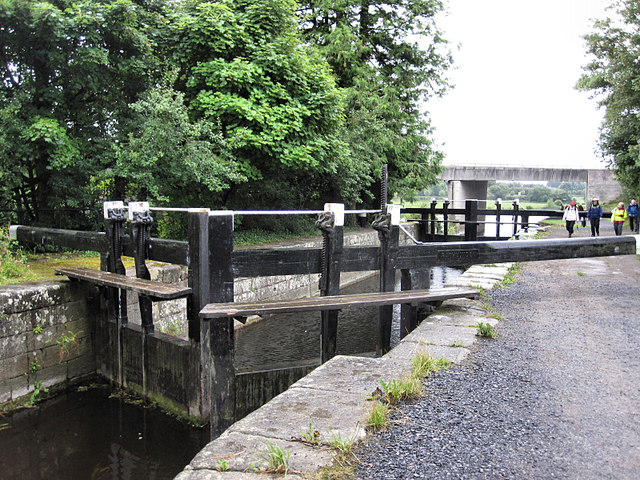 Rathvinden Locklock · 1251 yd
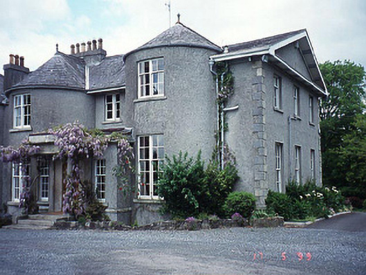 Rathvinden Househouse · 1.1 mi
 Common LimeCommon Lime · 1.2 mi
 Graveyard in Tomard Lower (3 Detached Portions)Graveyard · 1.3 mi
 Black Castle (in ruins)Castle, tower house · 1.3 mi
 Church, GraveyardChurch · 1.6 mi
 Dunleckny Ho.Castle, unclassified · 2.9 mi
 Sweet ChestnutSweet Chestnut · 2.9 mi
 Lock Keeper's House and Lodge MillsVisitor information · 3.4 mi
 The Columban WayVisitor information · 3.4 mi
Other information
Photo: Credit not shown in the picture search · Rights wording not checked; contact us if this picture should be removed