What is recorded here
The early church (ME011-037----) is at the summit of the mound of a D-shaped graveyard (ME011-037004-) defined by an earth and stone bank. The sandstone base (basal dims 0.7m x 0.68m; H 0.67m) of a high cross with a roll moulding on the angles is in the graveyard N of the church, but a fragment of a high cross that may have belonged to it and was in the graveyard is now lost (Harbison 1992, 76).
Compiled by: Michael Moore
Date of upload: 3 July, 3014
The monument record does not grant public access. Check the route and ask the landowner before entering private land.
- What survives
- Recorded monument
Places near here
 ChapelChurch · 19 yd
 Addie's WoodWood · 357 yd
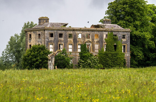 Williamstowncountry house · 376 yd
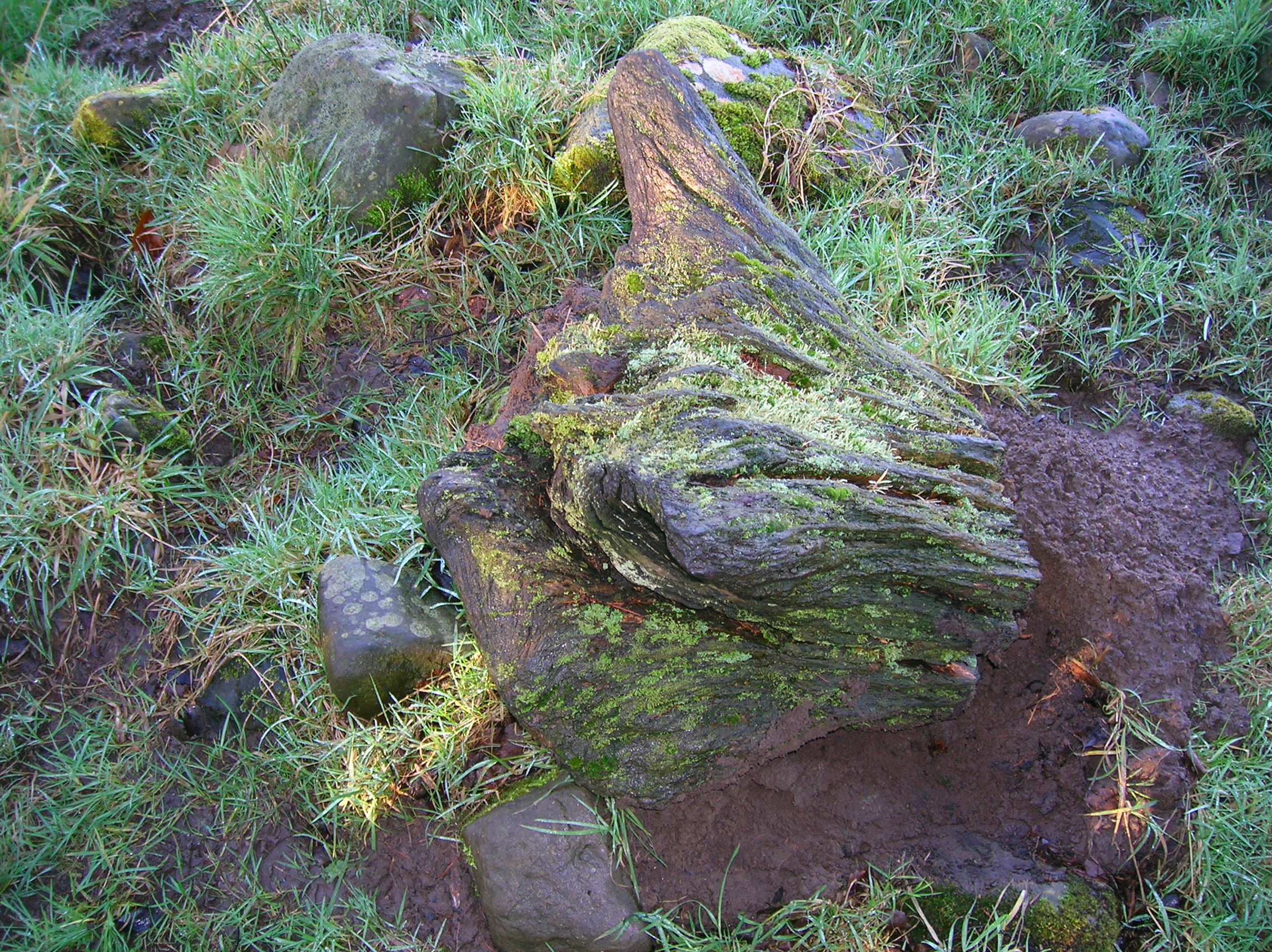 Zephyr Bog WoodWood · 811 yd
 Standing StoneArchaeological place · 1735 yd
 MountainpoleMountain / peak · 1.0 mi
 Kells Anglers Association MemorialMemorial · 1.3 mi
 Fulacht fia in Archdeaconry GlebeFulacht fia · 1.4 mi
 John Mac MahonMemorial · 1.5 mi
 DeerparkMountain / peak · 1.8 mi
 CastleCastle, unclassified · 1.8 mi
 Black WoodWood · 888 yd