
What is recorded here
Earthwork described in 1943 as following; 'This is a small earthen ring fort with a well defined fosse. The bank has collapsed inwards and outwards, filling the fosse to a considerable extent and giving the interior space a bowl shape. The lowest portion of the interior is higher than the field level, from which a…
Read the whole record
From the National Monuments Service (Archaeological Survey of Ireland) record LI033-055
Places near here
Photo credits
- Maker not stated on source page, au.pinterest.com
- Maker not stated on source page, www.dreamstime.com
- Maker not stated on source page, www.pinterest.com
- National Inventory of Architectural Heritage
- Maker not stated on source page, in.pinterest.com
- Maker not stated on source page, nigelborrington.com
- Maker not stated on source page, www.bigstockphoto.com
- Knockane GAA Club website; individual photographer not stated, www.knockane.com
- No machine-readable author provided. Christian1965~commonswiki assumed (based on copyright claims)., Wikimedia Commons · Public domain
- Kmcnamee, Wikimedia Commons · CC BY-SA 4.0
 Standing stone in CromwellStanding stone · 818 yd
Explorer Tom Standing stone in Cromwell is guarding a hidden treasure that is definitely just a rusty biscuit tin from 1954. It’s…
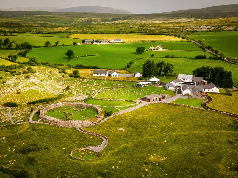 Fairy fort / earthen ringfort in Duncummin,killeennagalliveFairy fort / earthen ringfort · 957 yd
Explorer Tom Fairy fort / earthen ringfort in Duncummin, Killeennagallive thinks the seagulls are just local critics who haven't…
Fairy fort / earthen ringfort in DuncumminFairy fort / earthen ringfort · 1013 ydExplorer Tom Fairy fort / earthen ringfort in Duncummin has a long-standing grudge against the weather for keeping its entrance…
 Fairy fort / stone ringfort in CromwellFairy fort / stone ringfort · 1228 yd
Explorer Tom Fairy fort / stone ringfort in Cromwell is secretly proud of the single potato growing on its collapsed rampart. It…
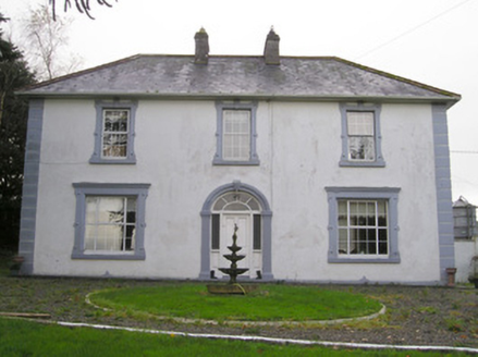 Ballinlough HouseHouse · 1.6 mi
Explorer Tom Ballinlough House suspects the postman is stealing letters and replacing them with notes from its own past. It’s a…
 Standing stone in Oldtown (ryan)Standing stone · 1.8 mi
Explorer Tom Standing stone in Oldtown is the quiet uncle at the wedding who just watches everyone dance. It stands firm by the…
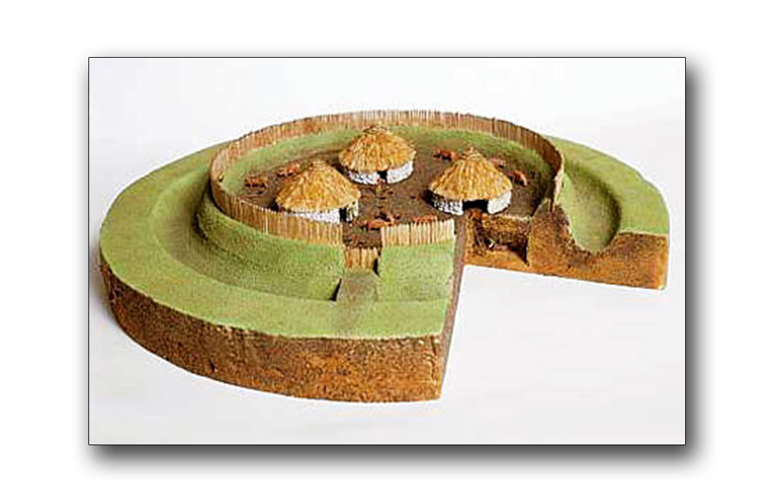 Fairy fort / earthen ringfort in CastlefarmFairy fort / earthen ringfort · 2.0 mi
Explorer Tom Fairy fort / earthen ringfort in Castlefarm was saved by a hero nobody remembers who fixed the causeway. It’s got a gap…
 Holed stone in CastlefarmHoled stone · 2.1 mi
Explorer Tom Holed stone in Castlefarm has a hole right through its forehead, which is very rude for a flagstone. The whole parish…
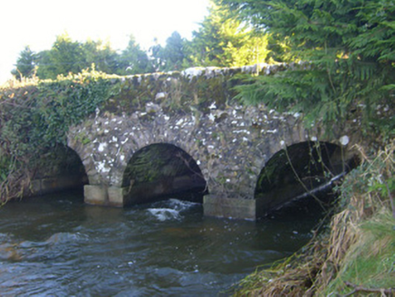 Ahnageeragh BridgeBridge · 2.4 mi
Explorer Tom Ahnageeragh Bridge gave up eating fish for Lent because the river got too close to its arched silhouette. It’s standing…
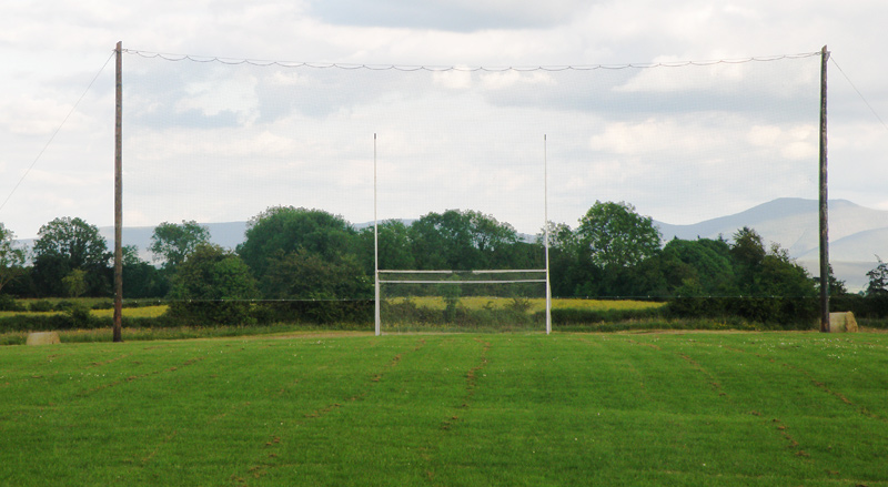 Knockainey GAA pitchGAA ground · 5.2 mi
 Áine and Gearóid Iarla: Lough GurLegend location · 6.3 mi
Explorer Tom Áine and Gearóid Iarla: Lough Gur has a goddess for the lake and a sleeping lord in the old stories. I thought I was…
 Bruff GAA pitchGAA ground · 7.1 mi
More archaeology and monuments in County Limerick · All of County Limerick

What do you know about this place?Tap to add a comment or ask a question