What is recorded here
Situated in pasture on the floor of a NW-SE valley. It is constructed of conglomerate stones and faces NE (uplsope). The triangular roofstone (dims. 4.15m x 2.5m; T 0.45-1.1m) has its broad but thinner end resting on two portal-stones (at NW: dims. 1.17m x 0.4m; H 1.5m; at SE: dims. 0.8m x 0.56m; H 1.5m), but no other structural stones are present. The portal-stones are unusually aligned across the main of the capstone. The site of a second possible dolmen (WA003-050----) is c. 50m to E. (Ó Nualláin 1983, 102)
Ó Nualláin, S. (1983) Irish portal tombs: topography, siting and distribution. JRSAI 113, 102-03.
The above description is derived from the published 'Archaeological Inventory of County Waterford' (Dublin: Stationery Office, 1999). In certain instances the entries have been revised and updated in the light of recent research.
Compiled by: Michael Moore. Date of upload/revision: 20 October 2010
Portal dolmen; Neolithic period. Its orientation and construction reflect early megalithic traditions in the region, indicating ritual or funerary use.
The monument record does not grant public access. Check the route and ask the landowner before entering private land.
- What survives
- Recorded monument
Places near here
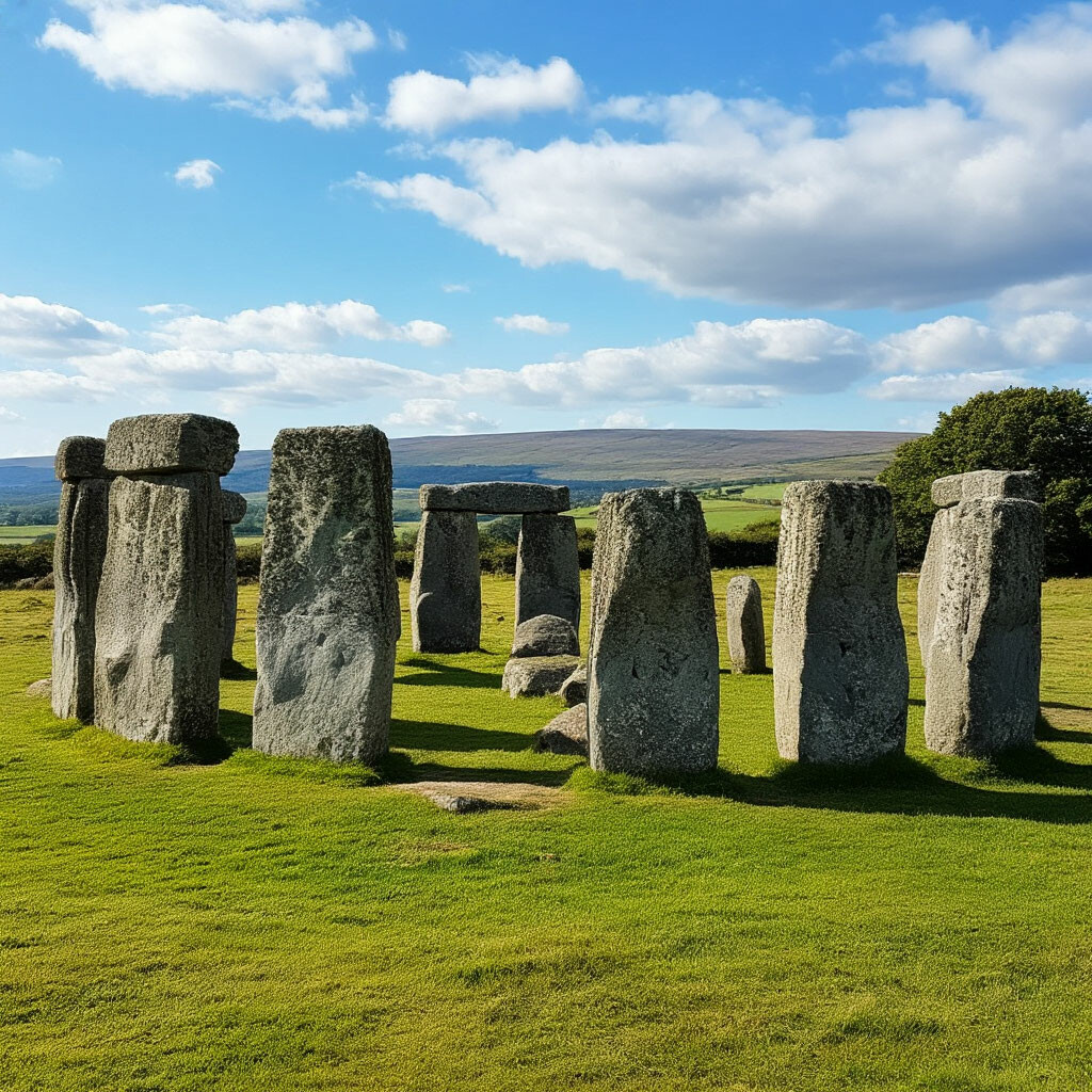 CromlechsMegalithic structure · 64 yd
 Kilquan Church (in ruins)Church · 154 yd
 Enclosure in BallynevinEnclosure · 485 yd
 Fenoagh Church (in ruins)Church · 1.0 mi
 CarrigfenoaghMountain / peak · 1.4 mi
 Tower Hill WoodWood · 1.9 mi
 Tower HillMountain / peak · 2.0 mi
 Curraghmore HouseCastle · 2.2 mi
 Ormonde CastleHeritage attraction · 2.3 mi
 Sitka SpruceSitka Spruce · 2.3 mi
 Feddans CastleRuins · 3.3 mi
 Portlaw Heritage CentreMuseum · 3.7 mi