
What is recorded here
Map note: Find the recorded point for Croft Head, a mountain or peak near Glenboig, North Lanarkshire, Scotland. A hill can keep its own counsel; the surrounding map is ready to explore.
From OpenStreetMap (© OpenStreetMap contributors) n289258490
Places near here
Photo credits
- Maker not stated on source page, commons.wikimedia.org
- Richard Webb, Wikimedia Commons · CC BY-SA 2.0
- Maker not stated on source page, www.tripadvisor.com.ph
- Maker not stated on source page, www.dreamstime.com
- G Laird, Wikimedia Commons · CC BY-SA 2.0
- Maker not stated on source page, stock.adobe.com
- Robert Murray, Wikimedia Commons · CC BY-SA 2.0
- Maker not stated on source page, www.flickr.com
- Maker not stated on source page, www.tripadvisor.com.au
- Maker not stated on source page, www.pinterest.com
 Coatbridge, South Medrox Street, St Joseph's Roman Catholic ChurchChurch (20th Century) · 266 yd
 GlenboigNo Class (event) (21st Century) · 562 yd
 Glenboig, Inchneuk Road, St Joseph's Roman Catholic ChurchChurch (19th Century) - (20th Century) · 852 yd
 Gartcosh Nature ReserveNature reserve · 925 yd
 War MemorialMemorial · 970 yd
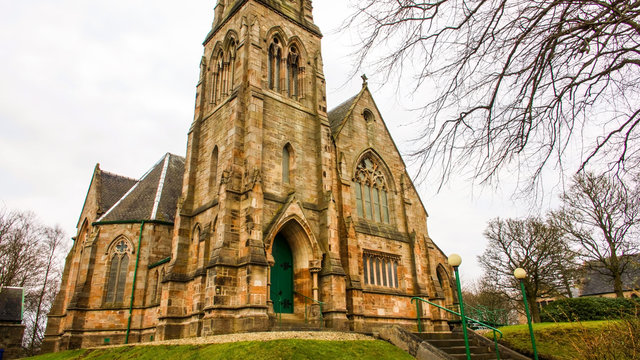 Glenboig, Main Street, Church of ScotlandChurch (19th Century) · 1172 ydGlenboig, Glenboig Farm Road, ChurchChurch (19th Century) - (20th Century) · 1183 yd
 Lecket HillMountain / peak · 1303 yd
 AvenueheadMountain / peak · 1582 yd
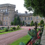 Castle PailsFort (possible) · 1.2 mi
 Moodiesburn, Bedlay CemeteryCemetery (19th Century) · 1.2 mi
 Gartverrie woodsWood · 1.2 mi
More mountains and hills in North Lanarkshire · All of North Lanarkshire

What do you know about this place?Tap to add a comment or ask a question