What is recorded here
In an expanse of rolling average pasture, located on a low rise at the base of the NW side of a hillock, on top of which 50m to SW there is a mound (MA022-010----). The townland boundary cuts across the hillock on a NNE−SSW axis. The location is sheltered at SE-SW by an arc of gently rising ground. There are open views at W-NE.
This rath is named ‘Crockbullock’ on the 1838 OS 6-inch map, and ‘Crockbulloge’ on the 1929 edition. It consists of a raised oval area (29.4m N-S; 34.7m E-W) defined by in at E and SW-S by an earthen bank (at E: Wth 4.7m; int. H 0.7m; ext. H 1.4m), reduced elsewhere to a scarp (ext. H 2.2m at W). Stones protrude from the top and sides of the bank. At NNE-NE a section (L c. 12m) of the scarp has been levelled to a broad low slope. A fosse (Wth 2.5-3m) with an external bank (Wth 3-4m; int. H 0.7m) is evident outside the bank/scarp at W-NNE; both are relatively well defined at WNW-NNW, but at NNW-NNE the fosse can be traced only as a band of rushes and the outer bank as a slight rise. A quarry pit (diam. c. 8m) truncated the external face of the outer bank at W.
The rath interior has a somewhat bowl-shaped profile, rising from a central dip toward the bank at E and W. The entrance gap (Wth 2m) is at the SE. Four grass-covered mounds (diam. c. 2m; H c. 0.45m) are located in the E half of the interior, most likely the result of field clearance. In the SE quadrant, adjacent to the entrance, is a possible subrectangular house (MA022-009001-), which abuts the inner face of the ringfort bank.
Grass cover, with hawthorn and blackthorn growing on outer bank at NW.
Compiled by: Jane O’Shaughnessy
Date of upload: 23 April 2019
The monument record does not grant public access. Check the route and ask the landowner before entering private land.
- What survives
- Recorded monument
Places near here
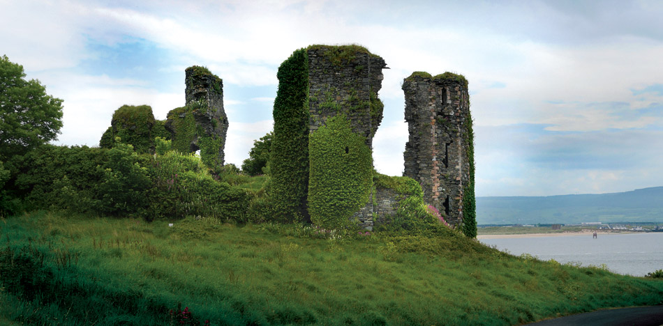 Crockbullock FortArchaeological place · 4 yd
 IndicatedFairy fort / earthen ringfort · 497 yd
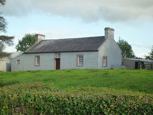 farm housefarm house · 1550 yd
 Castlereaghwalled garden · 1637 yd
 Battle of Killalabattle · 1721 yd
 CastleCastle, unclassified · 1.0 mi
 Castle (in Ruins)Castle, tower house · 1.2 mi
 Green IslandIslet · 1.4 mi
 Rinnaun PointHeadland · 1.7 mi
 Battlefields of MoyneBattlefield · 2.4 mi
 Moyne AbbeyHeritage attraction · 2.9 mi
 Bartragh IslandIsland · 3.1 mi