What is recorded here
Excavated near Russellstown during road works, the pit measured eighty-six centimetres long, forty-three centimetres wide and one metre five deep. It held cremated human remains beside a Neolithic house and enclosure, suggesting a familiar place for death as much as life. The small shape of the deposit hints that the bones may have travelled in a vessel before burial, though no such container survived.
Excavated in advance of construction of the N9/N10 Kilcullen-Waterford Road (Excavation Licence number E2571/E2572). Located immediately to the N of an enclosure (CW003-029----) and a Neolithic house (CW003-028----). Cremated human remains contained within a pit (L 0.86m; Wth 0.43m; D 1.05m). The nature and size of the deposition has lead to the suggestion that it may have been contained in some form of vessel. There were no finds associated with the burial. (O' Connell T. J. 2009, Appendix 19)
Reference:
O' Connell T. J. 2009 N9/N10 Kilcullen to Waterford Scheme: Kilcullen to Powerstown. Archaeological Services Contract No. 4 - Resolution, Prumpelstown to Powerstown. Final Report on archaeological investigations at Site E2571/E2572, in the townland of Russellstown, Co. Carlow. Unpublished report, Headland Archaeology (Ireland) Ltd., Cork.
Compiled by: Claire Breen
Date of upload: 10 November 2010
The monument record does not grant public access. Check the route and ask the landowner before entering private land.
- What survives
- Recorded monument
Places near here
 Enclosure in RussellstownEnclosure · 35 yd
 Cork oakCork oak · 561 yd
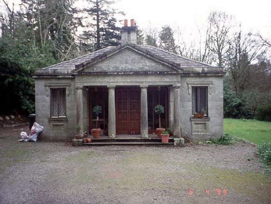 Russellstown Parkgate lodge · 583 yd
 European YewEuropean Yew · 667 yd
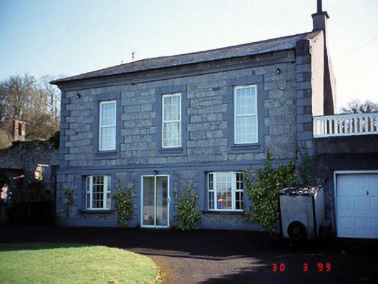 Burton Hallcountry house · 749 yd
 Enclosure in RainestownEnclosure · 1171 yd
 Friarstown Castle (in ruins)Castle, tower house · 1.9 mi
 OutlinedCastle, unclassified · 2.0 mi
 Brownshill Portal TombVisitor information · 2.1 mi
 Church (in Ruins), GraveyardChurch · 2.1 mi
 Franciscan FriaryHeritage attraction · 3.6 mi
 ProclamationMemorial · 3.7 mi