What is recorded here
Scotland's National Record of the Historic Environment records Creag A' Chuallaich as Hut (post Medieval), Pen (post Medieval). The official map says its point is accurate as follows: NGR given to the nearest 1m. The record does not by itself mean that the public may enter the place.
The historic-place record does not grant public access. Check current conditions and ownership before entering land or a building.
Places near here
 DeanshaughHorse Engine Platform (post Medieval), Retting Pond(s) (post Medieval), Township (post Medieval) · 713 yd
 Wester BallachragganBench Mark (19th Century), Milestone (19th Century) · 966 yd
 Cochill BurnHut (post Medieval) · 1197 yd
 DullatorTownship (period Unassigned) · 1579 yd
 Beinn LiathMountain / peak · 1.9 mi
 Craig HulichMountain / peak · 2.1 mi
 Griffin Wind FarmNo Class (event) (period Unassigned) · 2.3 mi
 Falls of the BraanWaterfall · 4.5 mi
 Dunkeld, the Hermitage, Ossian's CaveFolly (18th Century) · 5.1 mi
 Pine Cone PointViewpoint · 5.1 mi
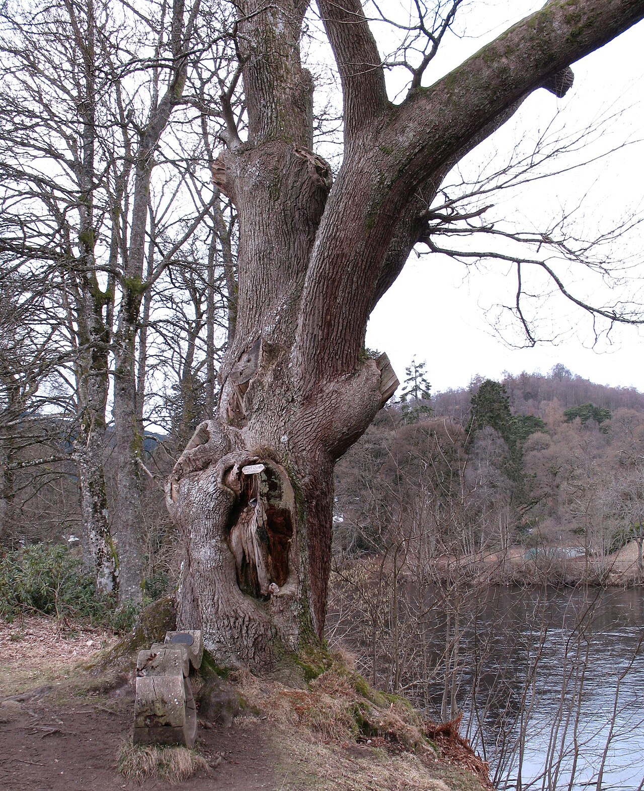 Niel Gow's OakOak · 5.8 mi
 Polney CragCliff · 5.8 mi