What is recorded here
Marked only on the 1915 ed. of the OS 6-inch map in a bend in a N-S field drain, and situated on a flat, low-lying, peat-covered landscape. Circular grass-covered mound (diam. 13.3m N-S; H 0.4-0.6m) with a drain curving around it to the E. Crannog (RO008-049002-) is c. 20m to the N on the other side of an E-W drain.
Compiled by: Michael Moore
Date of upload: 24 August 2010
The monument record does not grant public access. Check the route and ask the landowner before entering private land.
- What survives
- Recorded monument
Places near here
 IndicatedFairy fort / earthen ringfort · 552 yd
 Uaigh PatrickMan-made underground passage · 1550 yd
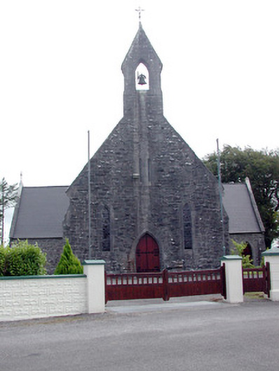 Saint Baoithín's Catholic Churchchurch/chapel · 1.4 mi
 Church (in Ruins)Church · 1.5 mi
 CastleBawn · 1.8 mi
 Bawn IslandIslet · 1.9 mi
 Rose PointHeadland · 3.0 mi
 Square WoodForest · 3.2 mi
 Frenchpark Ho.Castle, unclassified · 3.2 mi
 Gray's WoodForest · 3.3 mi
 Castle PointHeadland · 3.6 mi
 Inch IslandIslet · 3.9 mi