What is recorded here
At the SE end of Lough Meharth, an inter-drumlin lake and intervisible with another crannog (SL034-015----) c. 400m to NW. An almost submerged, oval low-cairn crannog (11m N-S; 14m E-W; H 1m above the lake-bed) with irregular edges. There is a mid-mound (3.2m N-S; 4m E-W) off-centre to E, the firm surface of which consists of grass and some rounded stones (diam. c. 0.3m). The mid-mound is on a plateau that consists of mud and some rounded and subangular stones. The plateau is wider to the W where it stretches out for c. 10m before sloping into the water.
The above description is derived from the published 'Archaeological Inventory of County Sligo' compiled by Ursula Egan, Elizabeth Byrne, Mary Sleeman with Sheila Ronan and Connie Murphy (Dublin Stationery Office, 2005).
Date of upload: 18 January 2008
The monument record does not grant public access. Check the route and ask the landowner before entering private land.
- What survives
- Recorded monument
Places near here
 Indicated (1838).Crannog · 448 yd
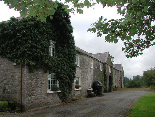 Ardagh Housefarmyard complex · 478 yd
 RathoeFairy fort / earthen ringfort · 888 yd
 Catholic Church of the Sacred Heartchurch/chapel · 1074 yd
 Riverstown Folk ParkHeritage attraction · 1252 yd
 Castle Douglas (Site of)Castle, unclassified · 1495 yd
 Behy Castle (in Ruins)Castle, tower house · 2.0 mi
 James MorrisonMemorial · 2.8 mi
 Annaghgowla IslandIslet · 3.9 mi
 School CaveCave · 4.4 mi
 Field MapleField Maple · 4.7 mi
 Giants GraveArchaeological place · 4.8 mi
Other information
Photo: Credit not shown in the picture search · Rights wording not checked; contact us if this picture should be removed