What is recorded here
Crannog is a waterlogged anchor in County Derry, not a passive victim of decay but a active participant in the life of the region. The boundary between human intention and natural drift becomes difficult to see when measurement stops giving a clear answer. What is being recorded is not a fact about the world or an error in the tool. It is a new form of knowledge in which uncertainty is the shape being seen.
The official Northern Ireland record identifies this as CRANNOG?. Recorded period: E.CHRIST.. The official map point was placed at the centre of the recorded archaeological site from the source map reference.
The monument record does not grant public access. Check the route and ask the landowner before entering private land.
- What survives
- Recorded monument
Places near here
 Lough FeaWalking route · 1.9 mi
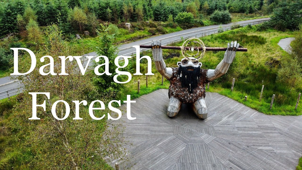 Davagh ForestForest · 2.1 mi
 OughtmoreMountain / peak · 2.8 mi
 ENCLOSURE: LIOS AINE in MobuyENCLOSURE: LIOS AINE · 3.1 mi
 ENCLOSURE & BULLAUN in GlengomnaENCLOSURE & BULLAUN · 3.4 mi
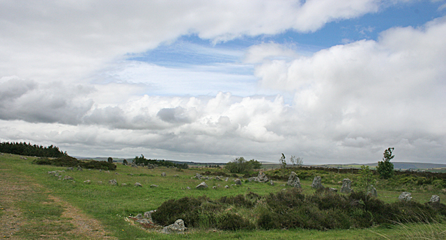 BeaghmoreArchaeological place · 3.8 mi
 Beaghmore Stone CirclesVisitor information · 3.8 mi
 St Columba's ChurchChurch · 3.9 mi
 Slieve GallionMountain / peak · 4.1 mi
 Goles ForestNature reserve · 4.5 mi
 Presbyterian ChurchChurch · 5.1 mi
 Craig-na-ShokeCliff · 7.6 mi