What is recorded here
In a rectangular bay (dims. c. 400m NE-SW; c. 300m NW-SE) open to the NE on the S shore of Lough Key, c. 170-210m from each shore. Circular overgrown area (diam. 13.5m E-W; 13.2m N-S; H 1-1.5m) of earth and stone in deep water with an L-shaped pier (L 4m; 2m) projecting from it at the WNW edge.
Compiled by: Michael Moore
Date of upload: 24 August 2010
The monument record does not grant public access. Check the route and ask the landowner before entering private land.
- What survives
- Recorded monument
Places near here
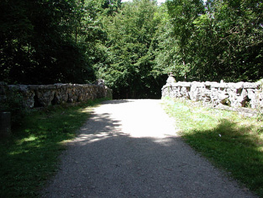 Rockingham Housefoot bridge · 340 yd
 Western RedcedarWestern Redcedar · 358 yd
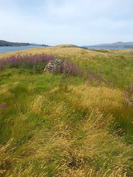 Drummans IslandIsland · 431 yd
 Embanked enclosureFairy fort / earthen ringfort · 458 yd
 Horse-chestnutHorse-chestnut · 542 yd
 Castle IslandIslet · 603 yd
 Rockingham DemesneRuins · 712 yd
 Enclosure in Rockingham Demesne (boyle By., Rockingham.ed)Enclosure · 925 yd
 Lough Key Forest ParkWood · 1057 yd
 Longford HillMountain / peak · 1305 yd
 Erris BayBay · 1419 yd
 Boyle AbbeyHeritage attraction · 2.5 mi