What is recorded here
Situated on the NE shore of Lough Iron, and would have been in the water lake prior to drainage of the lake. It is in low-lying ground and the monument is submerged during the winter. A raised circular shaped area (diam. 8m; max. H 0.4m) retained by a partial kerb of limestone slabs (approx. Wth 0.5m; approx T 0.2m; approx. H 0.5m). Three oak stakes are visible at W & SW (H 0.2m).
Listed as Dysart 2 and described by O'Sullivan (2004, 106-7) as 'Located at water’s edge on east shore of lake, south of the outlet of the River Inny. The crannóg is a small circular cairn (diam. 8m; H 0.4m) of stone in marshy ground at northeast shore of Lough Iron. The cairn was laid directly on the sandy muds of the lakebed. It has a level upper surface, an even profile and gradually sloping sides. There is a partial kerb of limestone slabs (50cm length and width, 10cm thick) on the south and west side. There were also 3 small oak stakes, 30-40cm diameter, on west and southwest sides'.
Compiled by: Caimin O'Brien based on details provided by Aidan O'Sullivan.
Date of upload: 9 March 2017
The monument record does not grant public access. Check the route and ask the landowner before entering private land.
- What survives
- Recorded monument
Places near here
 CastleCastle, unclassified · 333 yd
 Crannog in Cullenhugh,lough IronCrannog · 497 yd
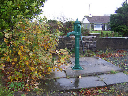 water pumpwater pump · 1637 yd
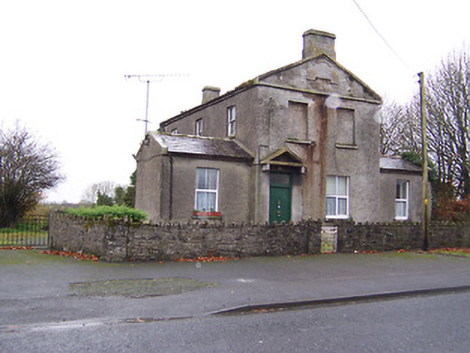 RIC barracksRIC barracks · 1640 yd
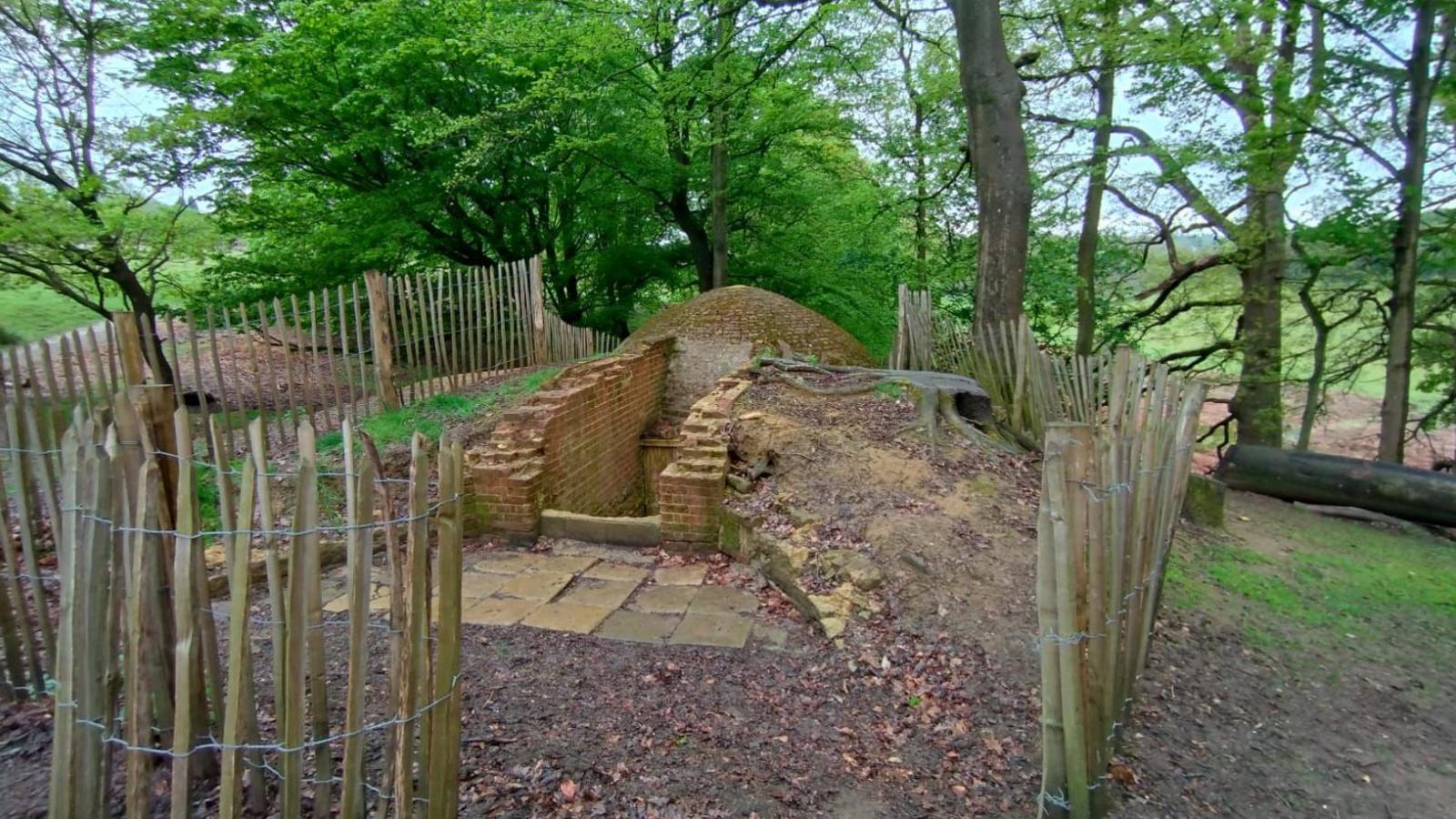 Icehouse in Baronstown DemesneIcehouse · 1.0 mi
 OutlinedCastle, unclassified · 1.1 mi
 Baronstown ForestWood · 1.7 mi
 Horse-chestnutHorse-chestnut · 1.8 mi
 Rock of CurryCliff · 10 mi
 Mullaghmeen ForestPicnic place · 12 mi
 Mullaghmeen Red WalkWalking route · 13 mi
 Mullaghmeen White WalkWalking route · 13 mi