What is recorded here
In a water meadow below an earlier shoreline of Lough Gara. Marked as a crannog site on Cross's unpublished map. There are no visible remains of this crannog. (Fredengren 2002, KILC 007)
The above description is derived from the published 'Archaeological Inventory of County Sligo' compiled by Ursula Egan, Elizabeth Byrne, Mary Sleeman with Sheila Ronan and Connie Murphy (Dublin Stationery Office, 2005).
Date of upload: 18 January 2008
This remains an important historical record, but the official description says the monument is no longer visible or has been destroyed. The monument record does not grant public access. Check the route and ask the landowner before entering private land.
- What survives
- No visible remains or recorded as destroyed
Places near here
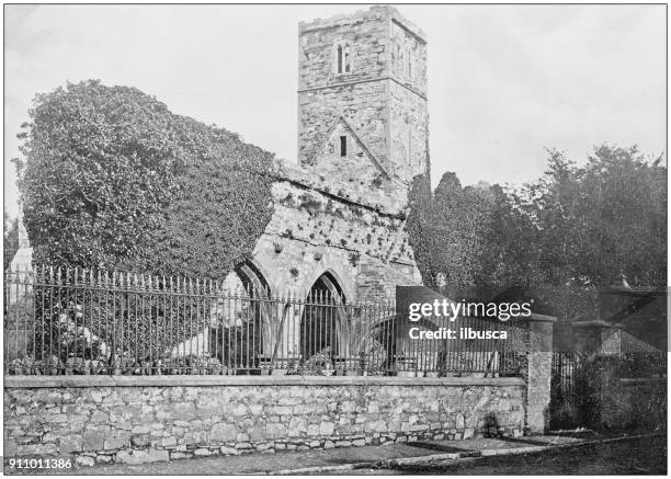 Enclosure in Annaghbeg OR MonasterredanEnclosure · 1399 yd
 Enclosure in TawnymucklaghEnclosure · 1659 yd
 Church in Inchmore IslandChurch · 1.0 mi
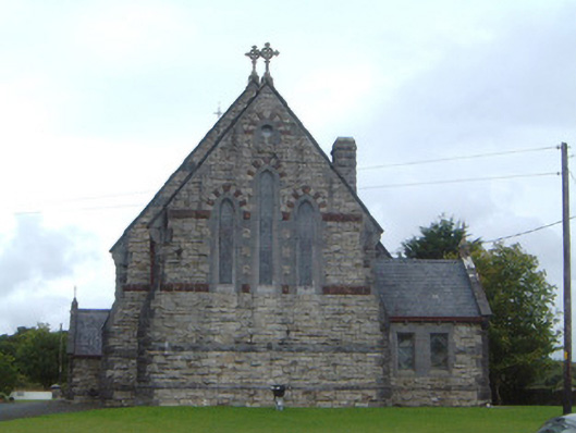 Saint Aidan's Catholic Churchchurch/chapel · 1.1 mi
 Rose PointHeadland · 1.5 mi
 Castle PointHeadland · 1.7 mi
 Castle (in Ruins)Castle, unclassified · 1.7 mi
 Crow IslandIslet · 1.8 mi
 Inch IslandIslet · 1.9 mi
 CastleBawn · 2.1 mi
 Square WoodForest · 4.2 mi
 Gray's WoodForest · 4.4 mi