What is recorded here
Derries Upper holds a crannog, which means people built a living place on the lake instead of its banks. The water would have carried heat, food and danger to the wooden deck at once. A person standing there at dawn would have seen fog leave the surface in ribbons while the firm land disappeared behind it. The lake did not ask permission before taking that much of the world.
The Archaeological Survey of Ireland (ASI) is in the process of providing information on all monuments on The Historic Environment Viewer (HEV). Currently the information for this record has not been uploaded. To access available information for research purposes please make an appointment in advance with the Archive Unit (open Fridays 10.00 am – 5.00 pm), Department of Housing, Local Government and Heritage, The Custom House, Dublin 1 D01W6XO or email NMarchive@housing.gov.ie.
The monument record does not grant public access. Check the route and ask the landowner before entering private land.
- What survives
- Recorded monument
Places near here
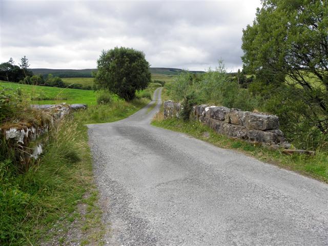 Derries UpperMountain / peak · 433 yd
 Old FortEnclosure, large enclosure · 1225 yd
 Inch IslandIslet · 1246 yd
 Drumgoon Bog WoodForest · 1313 yd
 Killykeen Forest ParkForest · 1694 yd
 Trinity Island WoodForest · 1724 yd
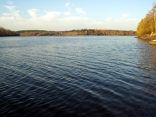 Lough OughterLake and island landscape · 1753 yd
 Woodenhouse BayBay · 1.1 mi
 Court tomb in GartnanoulCourt tomb · 1.1 mi
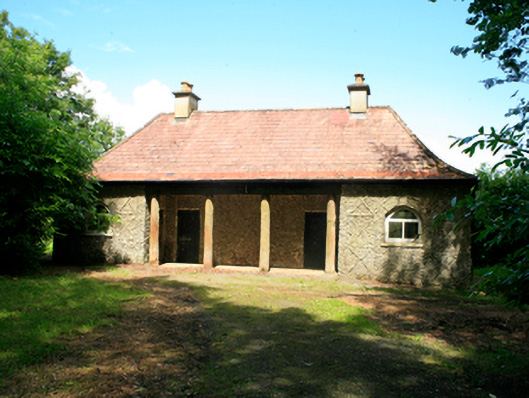 Killykeen Cottagecottage ornee · 1.2 mi
 Abbey FieldChurch · 1.5 mi
 Derinish MoreMountain / peak · 1.8 mi