What is recorded here
In NE portion of Loch Céim na Caillí. A small subcircular island (NW-SE c. 20m, NE-SW c. 15m) described by Layard as 'plainly an old "stone dwelling". The stone walls, though very much broken down, can still be traced' (1897, 377). Completely overgrown today and defined by a large quantity of stone with a possible landing place at E. (Robinson 1985, 23)
The above description is derived from the published 'Archaeological Inventory of County Galway Vol. I - West Galway'.
From the National Monuments Service (Archaeological Survey of Ireland) record GA077-004
The monument record does not grant public access. Check the route and ask the landowner before entering private land.
- What survives
- Recorded monument
Places near here
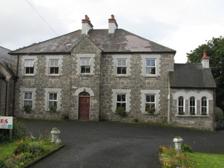 Clochar na Trócaire Carna [Carna Convent of Mercy]Convent/nunnery · 1210 yd
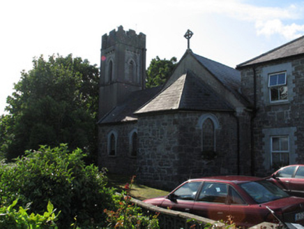 Clochar na Trócaire Carna [Carna Convent of Mercy]Church/chapel · 1216 ydKnockboy ForestryForest · 1.2 miHoly well in Leitir DeiscirtHoly well · 1.3 miHut site in Caladh MhaínseHut site · 1.5 miRoisín an ChalaidhIslet · 1.8 miCnoc GlinsceMountain / peak · 2.0 miArd Castle (in ruins)Castle, tower house · 2.6 mi
 Cora na hAirde MóireHeadland · 3.4 mi
 Cnoc MordáinMountain / peak · 5.5 mi
 Inis NíIsland · 5.5 mi
 Alexander NimmoMemorial · 6.0 mi
Pictures: National Inventory of Architectural Heritage; Mac McCarron, Wikimedia Commons · CC BY-SA 2.0; Jonathan Wilkins, Wikimedia Commons · CC BY-SA 2.0; Hugh Chevallier, Wikimedia Commons · CC BY-SA 2.0; Mac McCarron, Geograph · CC BY-SA 2.0
More archaeology and monuments in County Galway · All of County Galway
What do you know about this place?