What is recorded here
An oval-shaped island in Brockagh Lough is possibly an artificial stone cairn formed around some natural rock. There is some evidence to suggest a causeway from the N corner of the island towards the mainland. The land about the lake is bleak, boggy and desolate.
The above description was derived from the 'Archaeological Survey of County Donegal. A description of the field antiquities of the County from the Mesolithic Period to the 17th century.' Compiled by: Brian Lacey with Eamon Cody, Claire Cotter, Judy Cuppage, Noel Dunne, Vincent Hurley, Celie O'Rahilly, Paul Walsh and Seán Ó Nualláin (Lifford: Donegal County Council, 1983). In certain instances the entries have been revised and updated.
Date of upload: 22 September 2008
The monument record does not grant public access. Check the route and ask the landowner before entering private land.
- What survives
- Recorded monument
Places near here
 Laracus ForestForest recreation place · 1.1 mi
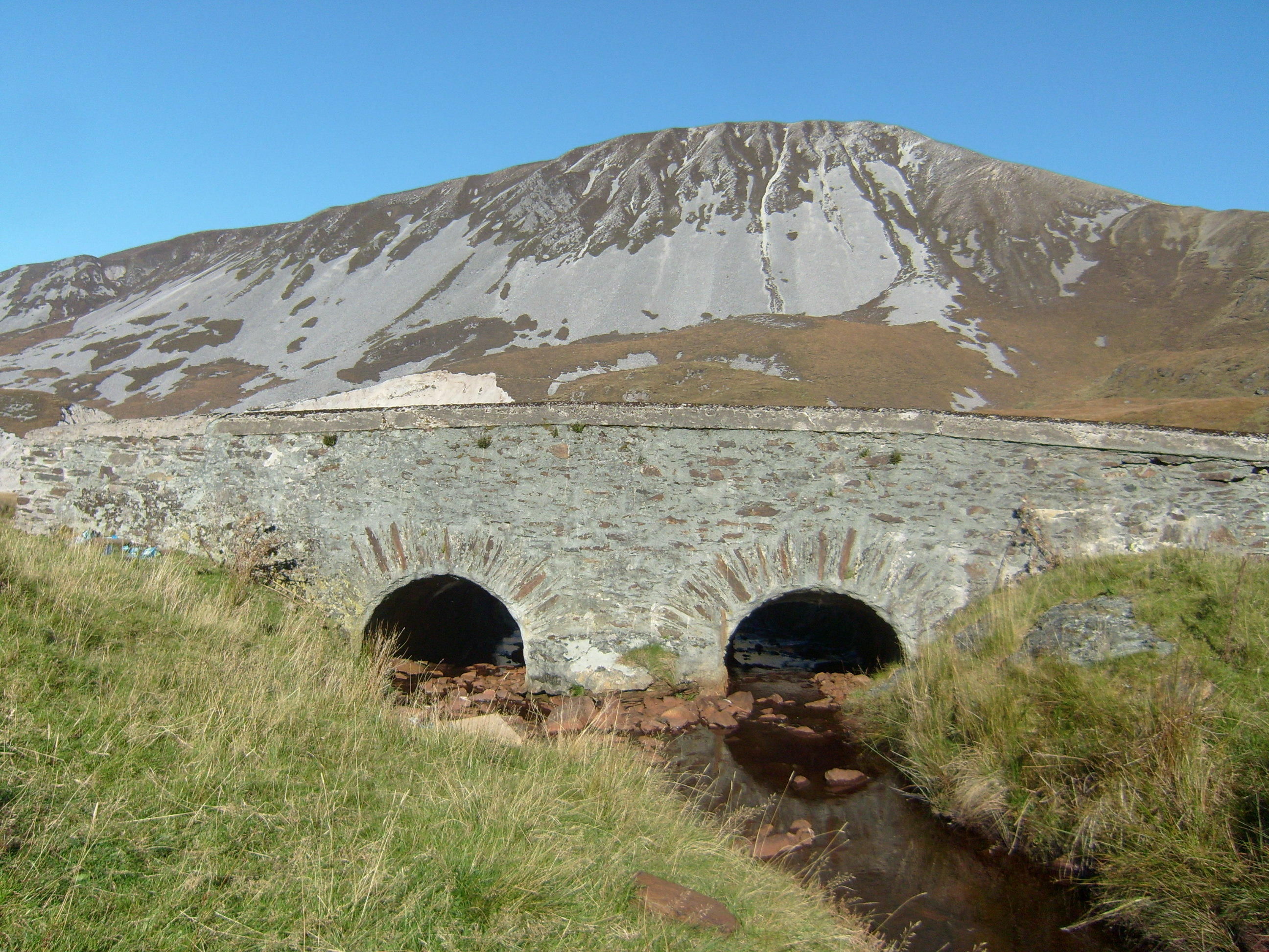 Droichead na nDeor [The Bridge of Tears]bridge · 1.8 mi
 The Bridge of TearsMemorial · 1.8 mi
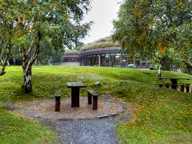 Glenveagh National Park Visitor CentreVisitor information · 2.0 mi
 Muckish Mountain CairnCairn, unclassified · 2.1 mi
 CairnCairn, unclassified · 2.1 mi
 MuckishMountain / peak · 2.1 mi
 Craw IslandIslet · 2.1 mi
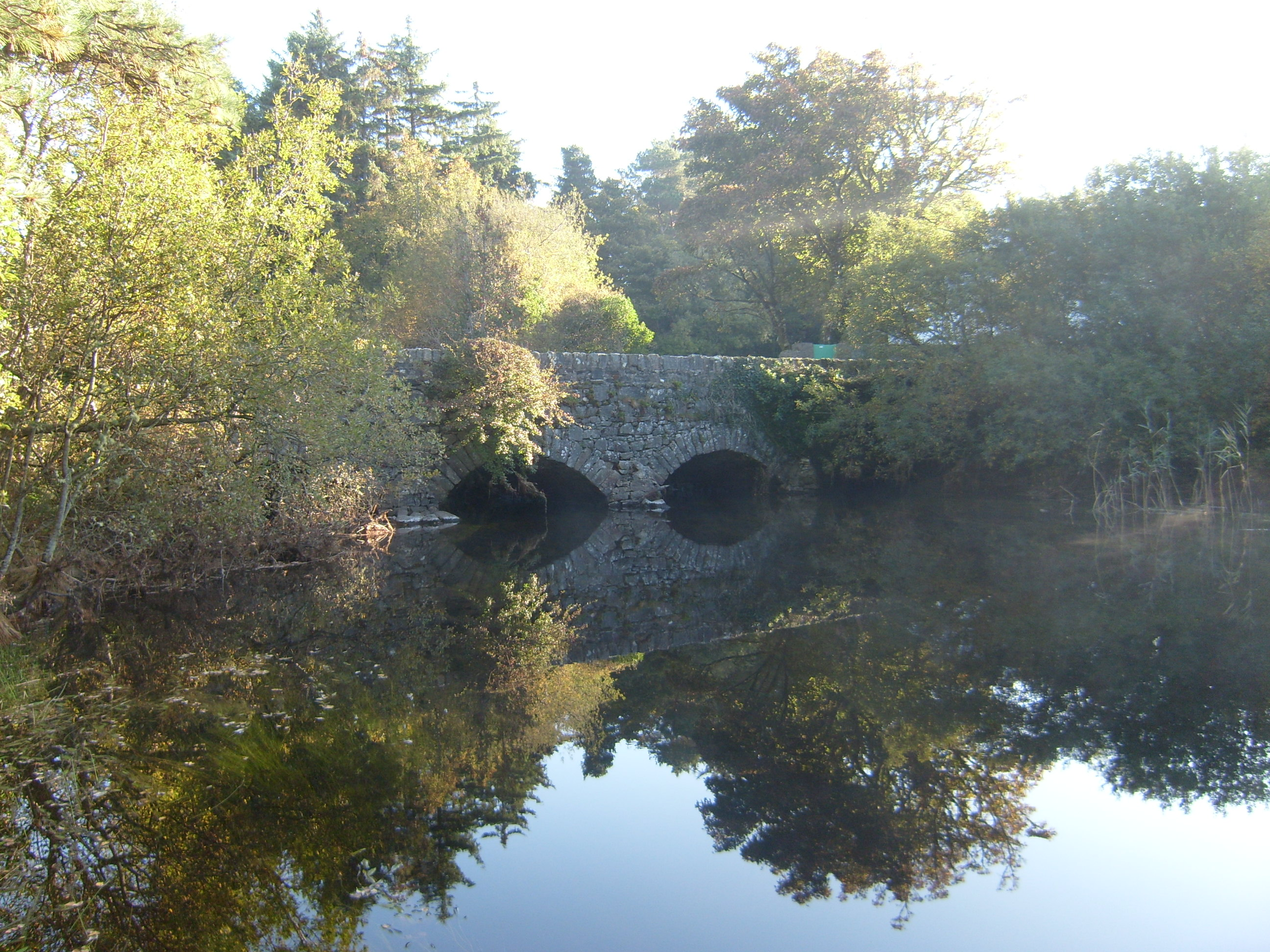 Glenveagh Bridgebridge · 2.1 mi
 Bracken IslandIslet · 2.1 mi
 Sessile OakSessile Oak · 2.3 mi
 Master Sword in StoneHeritage attraction · 4.0 mi