
What is recorded here
A flat-topped cairn c. 8m across and 1.5m high situated on top of Muckish Mountain. It may be of recent origin.
The above description was derived from the 'Archaeological Survey of County Donegal. A description of the field antiquities of the County from the Mesolithic Period to the 17th century.' Compiled by: Brian Lacey with Eamon Cody, Claire Cotter, Judy Cuppage, Noel Dunne, Vincent Hurley, Celie O'Rahilly, Paul Walsh and Seán Ó Nualláin (Lifford: Donegal County Council, 1983). In certain instances the entries have been revised and updated.
Date of upload: 22 September 2008
The monument record does not grant public access. Check the route and ask the landowner before entering private land.
- What survives
- Recorded monument
Places near here
 MuckishMountain / peak · 158 yd
 Muckish Mountain CairnCairn, unclassified · 254 yd
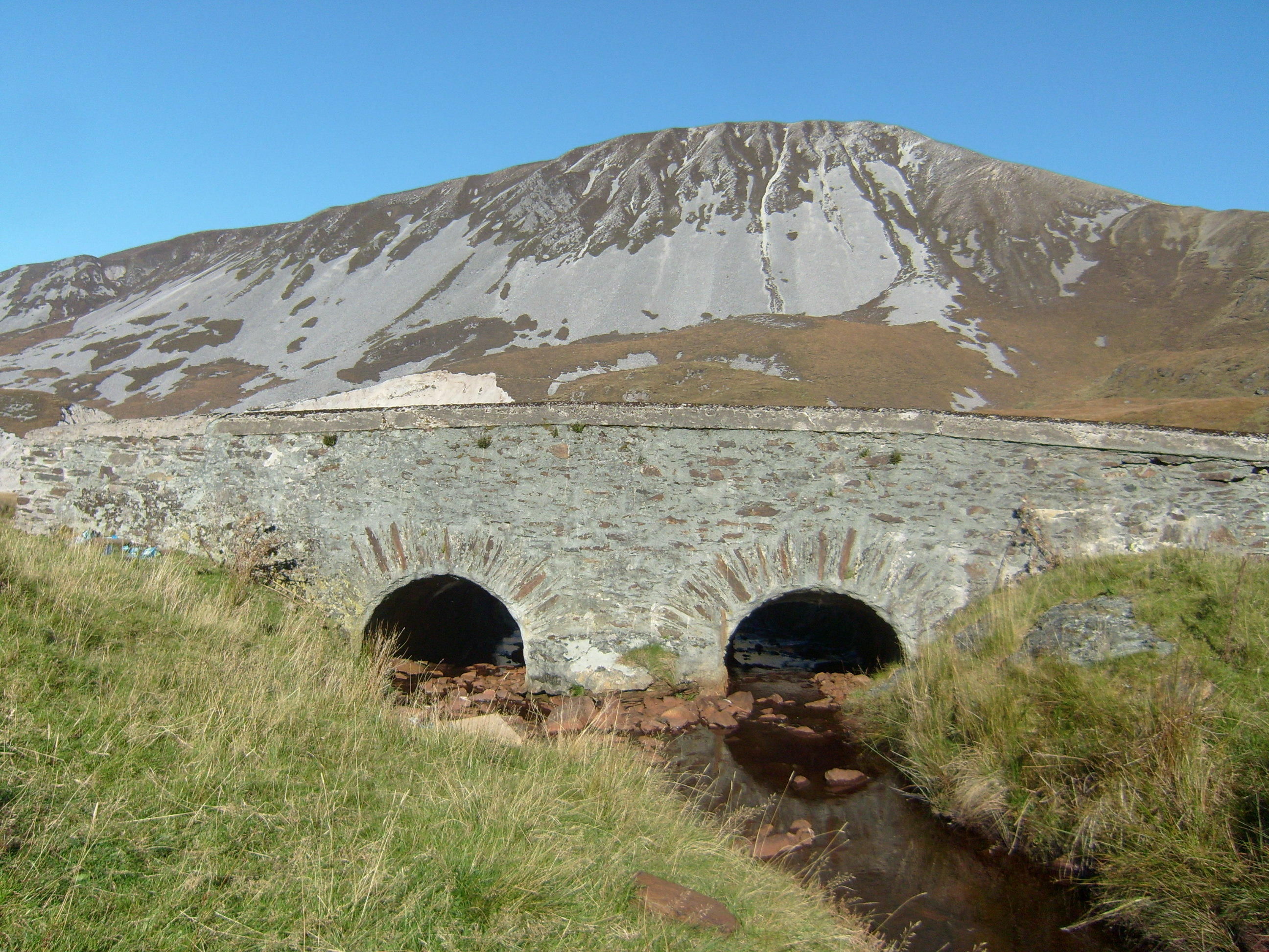 Droichead na nDeor [The Bridge of Tears]bridge · 1.3 mi
 The Bridge of TearsMemorial · 1.3 mi
 Laracus ForestForest recreation place · 1.7 mi
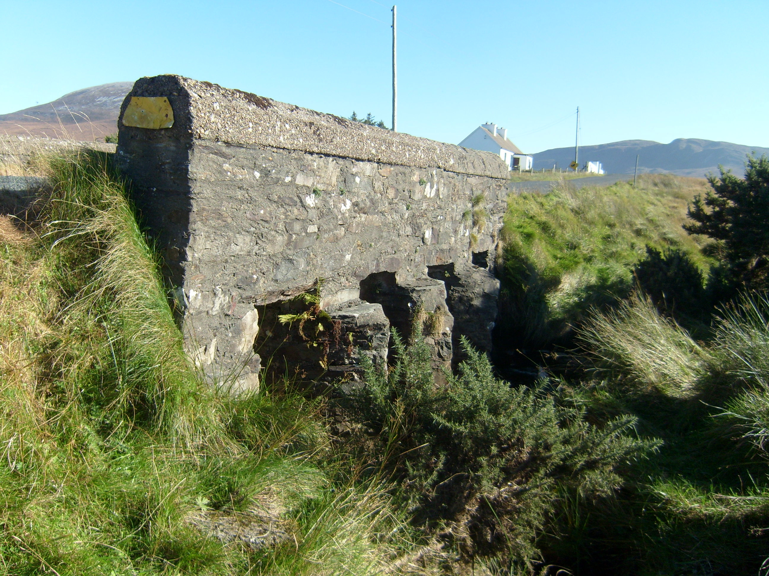 Droichead na hAbhna Bige [Owenbeg Bridge]bridge · 2.7 mi
 Faymore DolmenNamed dolmen · 2.9 mi
 Boys IslandIslet · 3.8 mi
 Duntally Wood Nature ReserveNature reserve · 3.9 mi
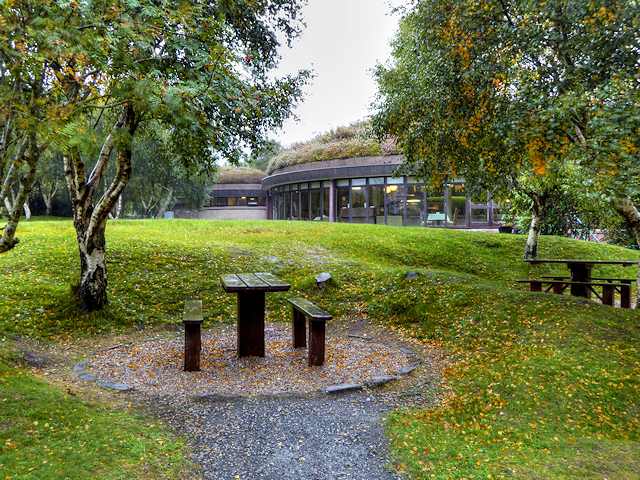 Glenveagh National Park Visitor CentreVisitor information · 4.1 mi
 Craw IslandIslet · 4.2 mi
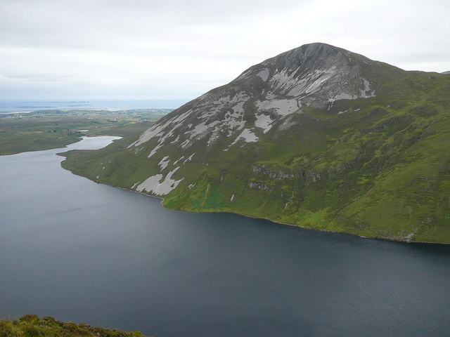 Aghla MoreMountain / peak · 4.4 mi
Other information
Photo: Rossographer · CC BY-SA 2.0