
What is recorded here
Listed by O'Sullivan (2004, 61-2) as Ballynakill 1. The islet is locally known as ‘Gull Island’. It is located at the northern end of a broad, level shoal across the lake bed at the northwest end of Lough Derravaragh. Described by O'Sullivan (ibid.) as following; 'a low, circular cairn of sand, gravel and stones (diam. c. 8m E-W, 30cm above water levels). The cairn is situated on a narrow, linear causeway of gravel and stones, running for 10-12m to the south. The cairn itself is circular and flat-topped, with a level upper surface and gently sloping sides. It is constructed of medium-sized, flat, limestone slabs (60cm length, 30cm width, 10cm thickness), stones and sand. Across the southwest end, the stones are smaller (8-10cm in length). There are two vertical oak roundwood posts (with sapwood) at the eastern edge of the cairn. NMI topographical files (NMI IA/118/84) mention the presence of a possible wooden jetty at the northwest side of the cairn, and the presence of other wooden posts to the E and SE. A scatter of animal bone (probably of young cattle) lies on the surface at the southern edge of the cairn. The site is largely overgrown by reeds and small trees in the summer' (O'Sullivan et. al. 2007, 117).
Compiled by: Caimin O'Brien
Date of upload: 13 February 2017
The monument record does not grant public access. Check the route and ask the landowner before entering private land.
- What survives
- Recorded monument
Places near here
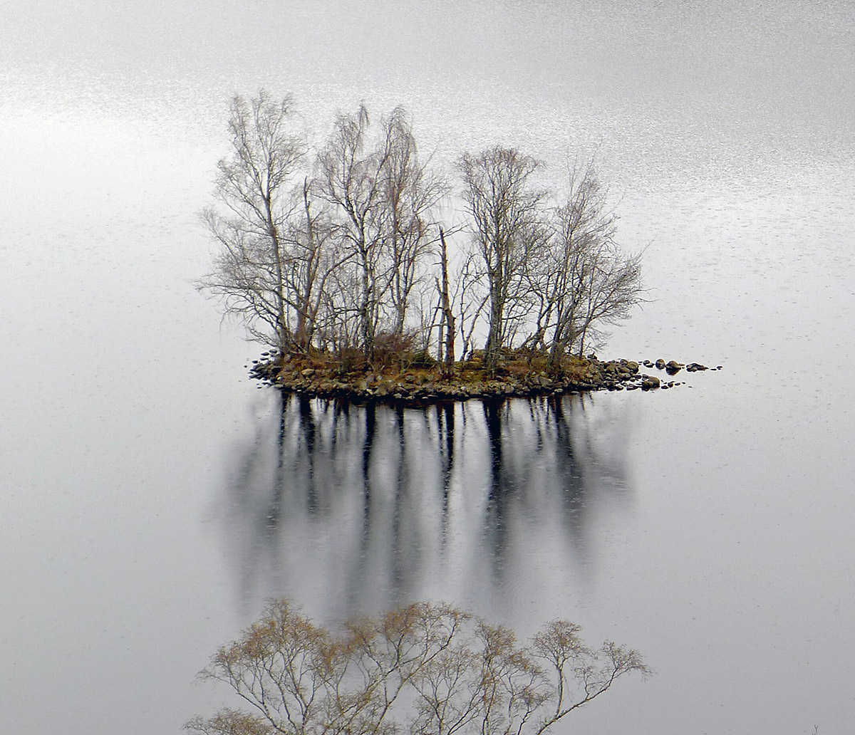 Crannog in Ballynakill (corkaree By.)Crannog · 114 yd
 IndicatedFairy fort / ringfort · 279 yd
 Mortimer's CastleArchaeological place · 1051 yd
 Faughalstown ChurchChurch · 1643 yd
 Donore Ho.House, 17th century · 1.1 mi
 Bawn in KiltoomBawn · 1.7 mi
 Bridge Memorial (Kenna)Memorial · 2.0 mi
 European BeechEuropean Beech · 2.9 mi
 Pedunculate OakPedunculate Oak · 3.1 mi
 Seafin HillMountain / peak · 8.3 mi
 Slieve GullionMountain / peak · 10 mi
 Zip WireHeritage attraction · 10 mi
Other information
Photo: Credit not shown in the picture search · Rights wording not checked; contact us if this picture should be removed