
What is recorded here
Bog and legend have swallowed the causeway and island, leaving only the shape of the lake behind Ballygreany and Bryanlitter.
The townlands of Ballygreary and Bryanlitter were separated by a small oval lake now represented by a rush-covered marshy bog (max. dims c. 370m NE-SW; c. 120m NW-SE). There was local knowledge in the 1940s of a zig-zag stone causeway at the SW end that ran out to a cairn in the bog (SMR file). There is no visible evidence of these features.
Compiled by: Michael Moore
Date of revised upload: 26 February 2018
The monument record does not grant public access. Check the route and ask the landowner before entering private land.
- What survives
- Recorded monument
Places near here
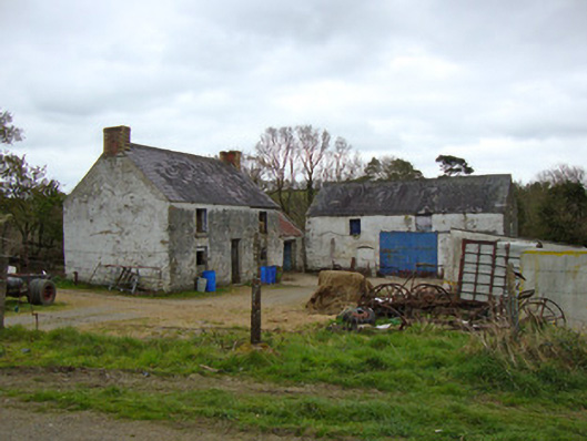 Ballygreany Millmill (water) · 721 yd
 Mass GardenMass-rock · 736 yd
 Battle of ClontibretBattlefield · 757 yd
 frotFairy fort / earthen ringfort · 873 yd
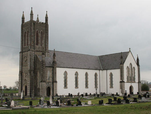 Saint Mary's Catholic Churchchurch/chapel · 1666 yd
 Castleshane WaterfallWaterfall · 2.3 mi
 Monaghan WayWalking route · 4.4 mi
 Caldwells' WoodWood · 4.9 mi
 Liscarney WoodWood · 5.1 mi
 Keady MonumentMemorial · 5.4 mi
 CarrigatukeMountain / peak · 8.7 mi
 Tullyvallen Orange Hall massacremassacre · 9.2 mi
Other information
Photo: Credit not shown in the picture search · Rights wording not checked; contact us if this picture should be removed