What is recorded here
Cranavonane Fort is a large flat-topped mound in County Carlow, measuring forty metres across and rising five metres high. It may be a natural glacial hillock rather than a built fort, yet people still call it a fort because its shape suggests human making. The name persists in aerial photographs and local memory, turning uncertain origin into familiar identity.
The following description is derived from the published 'Archaeological Inventory of County Carlow' (Dublin: Stationery Office, 1993). In certain instances the entries have been revised and updated in the light of recent research.
Date of upload/revision: 17 July 2007
Large high flat-topped mound (diam. c. 40m; H 3m-5m). Possibly formed by cutting back glacial hillock. Aerial photograph (GB89.Y10.) shows 'Cranavonane Fort' (Barrett 1989).
The monument record does not grant public access. Check the route and ask the landowner before entering private land.
- What survives
- Recorded monument
Places near here
 Enclosure in RathornanEnclosure · 520 yd
 Enclosure in CranavonaneEnclosure · 610 yd
 Graveyard in Tomard Lower (3 Detached Portions)Graveyard · 1284 yd
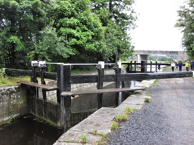 Rathvinden Locklock · 1629 yd
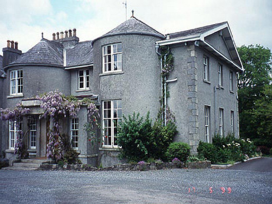 Rathvinden Househouse · 1.2 mi
 Black Castle (in ruins)Castle, tower house · 1.5 mi
 Church, GraveyardChurch · 1.7 mi
 Common LimeCommon Lime · 2.0 mi
 Gallows HillMountain / peak · 3.2 mi
 Dunleckny Ho.Castle, unclassified · 3.5 mi
 Sweet ChestnutSweet Chestnut · 3.5 mi
 Lock Keeper's House and Lodge MillsVisitor information · 3.8 mi