
What is recorded here
Map note: There is a map point for Craigmill Road, Road Bridge, a road bridge near Pitempton Farm, Angus, Scotland. The map has the location of the mystery, though not all its answers.
Places near here
Photo credits
- Maker not stated on source page, www.tripadvisor.ca
- Maker not stated on source page, ru.pinterest.com
- Douglas Nelson, Wikimedia Commons · CC BY-SA 2.0
- James Denham, Wikimedia Commons · CC BY-SA 2.0
- Maker not stated on source page, www.flickr.com
- Maker not stated on source page, en.wikipedia.org
- Val Vannet, Wikimedia Commons · CC BY-SA 2.0
- Ben Brooksbank, Wikimedia Commons · CC BY-SA 2.0
- Maker not stated on source page, www.tripadvisor.ie
- James Allan, Wikimedia Commons · CC BY-SA 2.0
- Maker not stated on source page, www.undiscoveredscotland.co.uk
 Dundee, 4 Baldovan Road, St Luke's Episcopal ChurchChurch (20th Century) (1901) · 457 yd
 St Luke's cemeteryCemetery · 473 yd
 Dundee, Strathmartine Road, Strathmartine Parish Church and ChurchyardBurial Ground (19th Century), Church (19th Century) (1843) · 476 yd
 West facade of church at Downfield in DundeeChurch, cross or graveyard · 490 yd
 Dundee, St Marys Road, ChurchChurch (19th Century) - (20th Century), House (20th Century) · 619 yd
 Dundee, Harestane Road, BridgeBridge · 658 yd
 Strathmartine HospitalHospital (20th Century) · 687 yd
 Site of Baldovan StationHeritage place · 795 yd
 Dundee, Haldane Street, Downfield South ChurchChurch (19th Century) · 994 yd
 Dundee, St Leonard Place, St Leonard's and St Fergus ChurchChurch (20th Century) · 1123 yd
 Old BaldragonMan-made underground passage (prehistoric) (possible) · 1175 yd
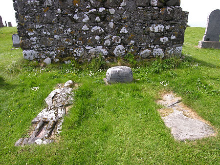 Mapped graveyardGraveyard · 1386 yd
More historic places in Angus · All of Angus

What do you know about this place?Tap to add a comment or ask a question