What is recorded here
Mature pines hold a truncated court tomb on a north-facing shelf of Saddle Hill, where two tall jamb-stones still frame a narrow entrance that has not appeared on any map. Ciarán Rock brought this hidden gallery to light, proving that human hands shaped the stones before written memory reached this remote slope. The chamber may have stored ancestors, marked a boundary, or simply given people a dark place to think together. Whatever it was, it still stands inside the forest, waiting to be remembered.
Situated on a shelf on the N-facing slope of a S-N spur of Saddle Hill, with fairly level ground in the immediate vicinity W-N-E. It is located within a mature coniferous forest and is not recorded on any map but was first reported by Ciarán Rock. It consists of the remains of a cairn (dims 15m ENE-WSW; c. 8m NNW-SSE; H c. 1m) that is truncated on all sides. The cairn contains a fragment of a gallery (int. dims 5m plus ENE-WSW; 2.6m NNW-SSE) defined by two large stones (L 1.45m; 1.7m; H 0.7-0.9m) on the N side and three (L 0.7m; 1.7m; 2.4m; H 0.5-1m) on the S but the W end is obscured by cairn material. There are two jamb-stones at E (N: dims 1.1m x 0.4m; H 1.2m; S: 1m x 0.3m; H 1m) 0.5m apart with a single court stone (L 1.05m; H 0.8m) immediately to the N and a second possible court stone (dims 0.6m x 0.3m; H 0.6m) 1.5m S of the S jamb-stone. A third possible court stone (dims 0.7m x 0.7m; H 1m) is 4.6m E of the jamb-stones, but no roof-stones were identified.
Compiled by: Michael Moore
Date of upload: 2 September, 2019
Court tomb, dating to the Neolithic period (c. 4000–2500 BCE). Its location on a prominent slope suggests it was a significant ceremonial or burial site in a landscape with potential ritual importance.
The monument record does not grant public access. Check the route and ask the landowner before entering private land.
- What survives
- Recorded monument
Places near here
 IndicatedFairy fort / stone ringfort · 795 yd
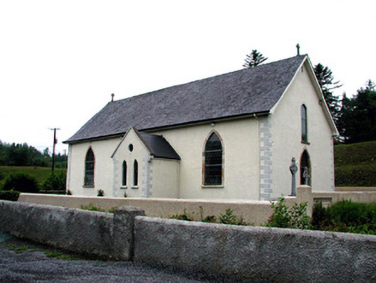 Saint Aidan's Catholic Churchchurch/chapel · 1405 yd
 Church in DerrynahimmirkChurch · 1.0 mi
 Big FortCeremonial enclosure · 1.1 mi
 Fowley's FallsPicnic place · 1.6 mi
 Saddle HillMountain / peak · 1.8 mi
 Giant's GraveArchaeological place · 2.2 mi
 Ross PointHeadland · 2.4 mi
 Dough MountainMountain / peak · 2.8 mi
 Kilroosk RockNamed rock · 3.7 mi
 Sally IslandIslet · 3.8 mi
 Bilberry IslandIslet · 3.8 mi