What is recorded here
Half-buried in a long shallow mound beside a Cavan stream, the drumhart court tomb still shows its western gallery, three chambers deep, the front room built bigger and slightly crooked as if hurried into shape. The eastern half has collapsed to a single chamber, but low stones west of it hint that two courts once faced each other across the flat ground. People may have carried dead through that wide front room before lowering them into the darker chambers beyond, while the rocky hillock watched.
Situated near a stream on a flat patch of ground close to a rocky hillock. The remains of a dual court tomb are incorporated in a mound 28.5m long, 13.5m wide and about 0.5m high. At W, a court, perhaps originally of semicircular outline, leads to a gallery, 9m long, divided by jambs into three chambers. The front chamber, the biggest of the three, is built with larger orthostats than the other two and its long axis is out of line with that of the rest of the gallery. The remains of the eastern gallery consist now of a single chamber. About 2m W of this there are a number of low set stones of uncertain function. (de Valera and Ó Nualláin 1972, 126-7, No. 26)
The above description is derived from the published 'Archaeological Inventory of County Cavan' (Dublin: Stationery Office, 1995). In certain instances the entries have been revised and updated in the light of recent research.
Date of upload/revision: 22 December 2008
See linked document with details from Ruaidhrí de Valera and Seán Ó Nualláin, Survey of the Megalithic Tombs of Ireland. Volume III. Counties Galway, Roscommon, Leitrim, Longford, Westmeath, Laoighis, Offaly, Kildare, Cavan. (Dublin: Stationery Office, 1972).
Court tomb, dating to the Neolithic period (c. 3500–2500 BCE). This type of tomb is significant as an early form of megalithic funerary architecture, often associated with communal burial and ritual practices in prehistoric Ireland.
The monument record does not grant public access. Check the route and ask the landowner before entering private land.
- What survives
- Recorded monument
Places near here
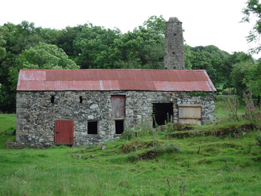 mill (water)mill (water) · 389 yd
 CorradarrenMountain / peak · 987 yd
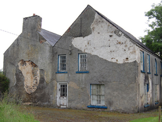 Rockfield Househouse · 1743 yd
 CorlisbrattanMountain / peak · 1.4 mi
 Drumergoole WoodForest · 2.0 mi
 Common LimeCommon Lime · 2.0 mi
 IndicatedEnclosure, large enclosure · 2.3 mi
 King's GraveArchaeological place · 2.9 mi
 Holy WellHoly well · 2.9 mi
 Killeshandra Irish Countrywomen's Association 70th AnniversaryMemorial · 3.6 mi
 Bawn in CastlepolesBawn · 3.9 mi
 Inch IslandIslet · 4.4 mi