What is recorded here
That is the end of the road for the dead. A long chamber stretches seven metres east to west, capped by a towering backstone and a broad circular court at the entrance. People built this place to hold the dead and mark the edge of the world they knew. It still stands at the bluff's edge, watching the valley below.
At the edge of a low bluff overlooking a slight NW-SE valley immediately to the N. The backstone (dims 1.55m x 0.2-0.35m; H 1.05m) of an E-W gallery (L c. 7m) survives in a clump of scrub together with some stones from the S side of a court (diam. c. 4m) at its E end.
Compiled by: Michael Moore
Date of upload: 24 August 2010
Court tomb, dating to the Neolithic period (c. 4000–2500 BCE). These tombs are significant as early communal burial sites, reflecting complex social and ritual practices in prehistoric Ireland.
The monument record does not grant public access. Check the route and ask the landowner before entering private land.
- What survives
- Recorded monument
Places near here
 IndicatedFairy fort / earthen ringfort · 221 yd
 Church (Site of)Church · 312 yd
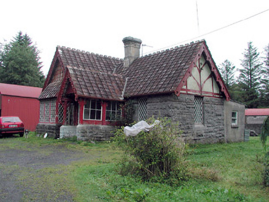 Kilronan Castlegate lodge · 1127 yd
 Stony IslandIslet · 1454 yd
 Annagh WoodForest · 1601 yd
 Western HemlockWestern Hemlock · 1683 yd
 Green IslandIslet · 1750 yd
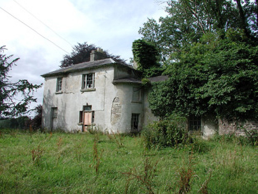 Knockranny Housecountry house · 1.2 mi
 Josie McDermott MemorialMemorial · 1.7 mi
 Turlough O'CarolanMemorial · 2.2 mi
 Kilronan MountainMountain / peak · 2.7 mi
 Arigna Mining ExperienceMuseum · 3.5 mi