What is recorded here
Counterfort walls still stand inside Moneyneany, not forgotten but waiting for eyes sharp enough to read them. The official record names the site COUNTERSCARP RATH, marks it as scheduled, and points to a centre already shaped by human hands. What those walls excluded, protected or controlled has faded from clear memory, yet the shape remains. A chamber, a boundary, a trap or a temple could have worn that form. The stones do not need a legend to be strange. They need only to be seen without rushing them into a story they never told.
The official Northern Ireland record identifies this as COUNTERSCARP RATH. Recorded period: E.CHRIST.. Recorded protection: Scheduled. The official map point was placed at the centre of the recorded archaeological site from the source map reference.
The monument record does not grant public access. Check the route and ask the landowner before entering private land.
- What survives
- Recorded monument
Places near here
 ENCLOSURE in DerrynoydENCLOSURE · 1292 yd
 ENCLOSURE in CloaneENCLOSURE · 1597 yd
 Moydamlaght ForestForest · 1.6 mi
 Craig-na-ShokeCliff · 2.1 mi
 St Columba's ChurchChurch · 2.4 mi
 Soup KitchenSoup Kitchen · 2.4 mi
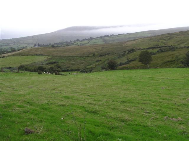 Craigagh HillMountain / peak · 2.4 mi
 MullaghmoreMountain / peak · 2.5 mi
 Goles ForestNature reserve · 4.9 mi
 Banagher Glen - Forest TrailWalking route · 5.6 mi
 Altkeeran WaterfallWaterfall · 5.7 mi
 Craigadick Picnic AreaPicnic place · 6.0 mi