What is recorded here
Scattered in Doonan, County Fermanagh, the counterscarp rath holds a scheduled boundary around its earthworks. The official point marks the centre of that recorded shape, not a complete drawing of every ridge or gap. People may have lived, herded or fled there before written memory, yet no exact date or named event survives in the supplied facts.
The official Northern Ireland record identifies this as COUNTERSCARP RATH. Recorded period: E.CHRIST.. Recorded protection: Scheduled. The official map point was placed at the centre of the recorded archaeological site from the source map reference.
The monument record does not grant public access. Check the route and ask the landowner before entering private land.
- What survives
- Recorded monument
Places near here
 St. Patrick's ChurchChurch · 1103 yd
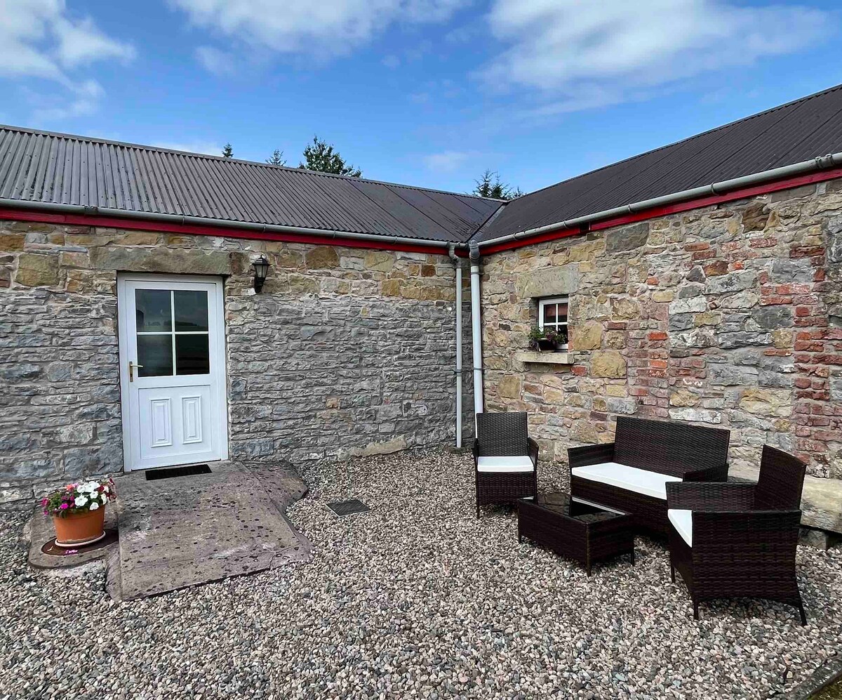 A.P. SITEA.P. SITE, enclosure · 1431 yd
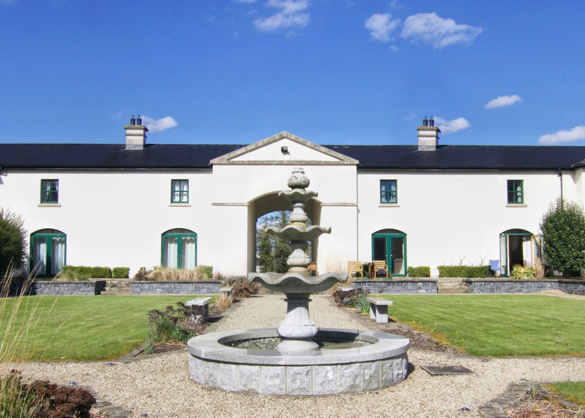 C17TH BAWN (unlocated) in DrumshaneC17TH BAWN (unlocated) · 1546 yd
 Inish ConraIsland · 1.3 mi
 ENCLOSURE in BallymacataggartENCLOSURE · 1.3 mi
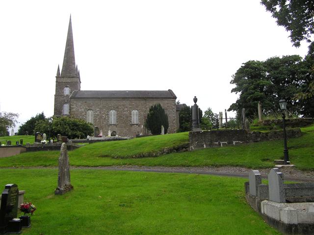 CHURCH (unlocated) in BallymacataggartCHURCH (unlocated) · 1.5 mi
 Inish DavarIsland · 1.5 mi
 WW2 components store (part of RAF Castle Archdale) in RossmoreWW2 components store (part of RAF Castle Archdale) · 1.5 mi
 Cassidy WoodWood · 2.1 mi
 Drumsara WoodWood · 2.2 mi
 Crevenish CastleHeritage attraction · 3.9 mi
 Monea CastleHeritage attraction · 5.0 mi