What is recorded here
Under the Fermanagh sky, a buried ring of earth and stone still marks the boundary between human life and wild land. The counter-scarp cuts through soil like a knife, revealing layers of age and abandoned labour. People may have stood inside that circle, watched storms pass, or buried what they could not carry further. The ground keeps their shape long after memory has failed.
The official Northern Ireland record identifies this as COUNTERSCARP RATH. Recorded period: E.CHRIST.. The official map point was placed at the centre of the recorded archaeological site from the source map reference.
The monument record does not grant public access. Check the route and ask the landowner before entering private land.
- What survives
- Recorded monument
Places near here
 MONASTIC SITE WITH CROSS-SHAFT & BASE: KILCOO in FrevaghMONASTIC SITE WITH CROSS-SHAFT & BASE: KILCOO · 1.3 mi
 HOLY WELL: TOBERPATRICK in FrevaghHOLY WELL: TOBERPATRICK · 1.3 mi
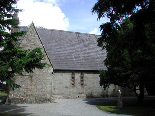 Kiltyclogher Church (Cloonclare)church/chapel · 1.9 mi
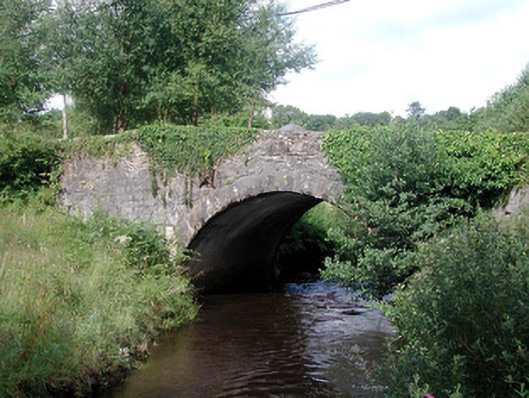 bridgebridge · 1.9 mi
 Ross PointHeadland · 3.1 mi
 CarriganMountain / peak · 3.5 mi
 Big DogMountain / peak · 3.7 mi
 Fowley's FallsPicnic place · 3.7 mi
 Bilberry IslandIslet · 3.8 mi
 Sally IslandIslet · 3.9 mi
 Giant's GraveArchaeological place · 4.0 mi
 Old Man's HeadHeritage attraction · 6.5 mi