What is recorded here
Mud, stone and deliberate shape still mark the Liskilly fort, though no visible wall remains to explain the scaffold of its making. A counterscarp platform suggests a ditch, bridge or barrier around a central chamber, yet the ground offers no warning about which part was built first. The absence of a completed chamber does not reduce the work; it redirects attention to the tools, trials and abandoned choices that formed the shape now buried under grass.
The official Northern Ireland record identifies this as COUNTERSCARP PLATFORM RATH: LISKILLY FORT. Recorded period: E.CHRIST.. The official map point was placed at the centre of the recorded archaeological site from the source map reference.
The monument record does not grant public access. Check the route and ask the landowner before entering private land.
- What survives
- Recorded monument
Places near here
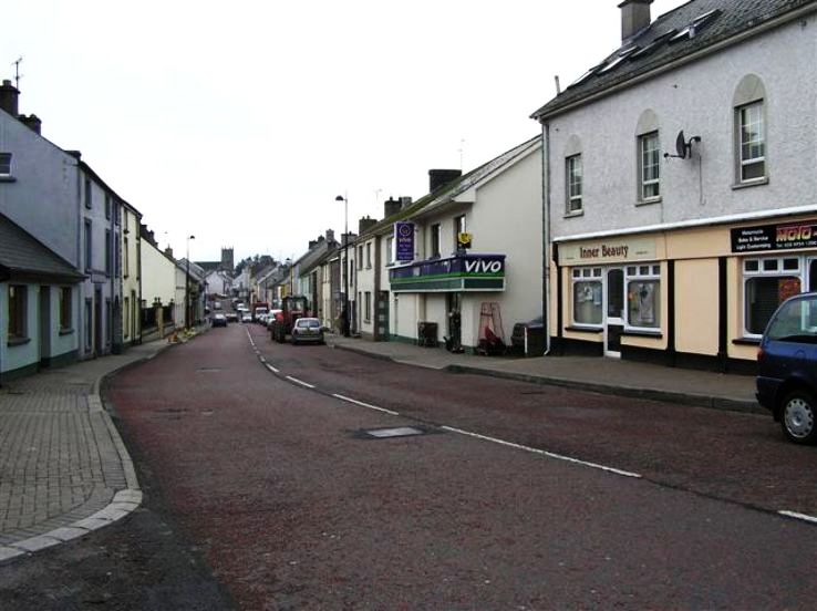 RathkeevanArchaeological place · 1554 yd
 IslandhillArchaeological place · 1.0 mi
 Attack on Derryard checkpointterrorist attack · 1.5 mi
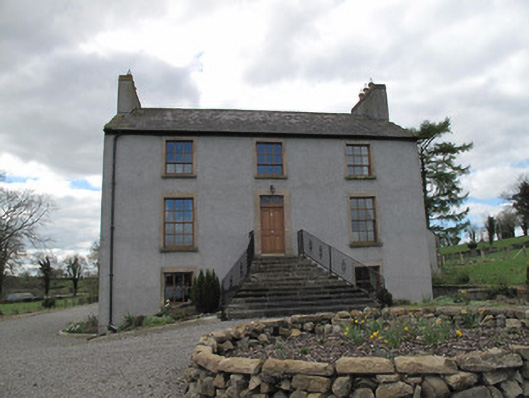 Kilcorran Househouse · 1.7 mi
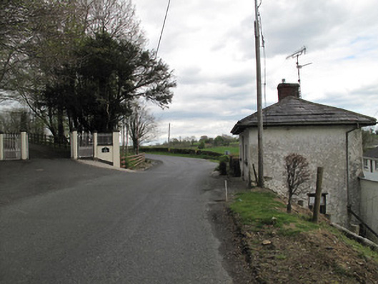 Aghafin Housegate lodge · 1.7 mi
 Jaundice WellSpring · 2.4 mi
 PLANTATION TOWER-HOUSE & BAWN (unlocated) in ShannockPLANTATION TOWER-HOUSE & BAWN (unlocated) · 3.0 mi
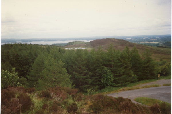 Annaghilly ForestForest · 3.1 mi
 Derrynawilt ForestForest · 3.6 mi
 Saint John's WellSpring · 4.0 mi
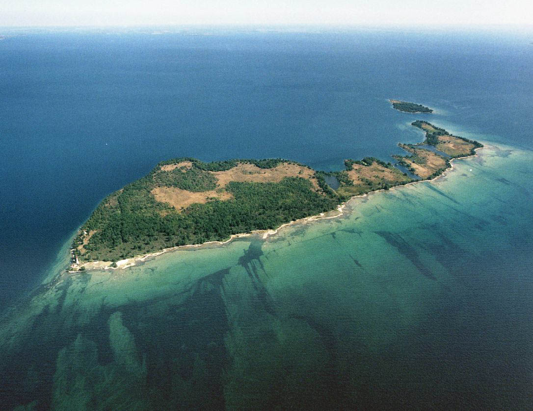 Duck IslandIslet · 4.2 mi
 Roosky Castle (Site of)Castle, ringwork · 4.2 mi