
What is recorded here
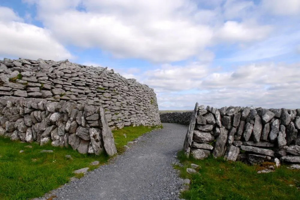
Defensively sited on a narrow spur at the SE at S end of a high steep-sided ridge, named Dún Beag, with short but steep falls just outside the site from ENE to SW. Hachured and named ‘Coskeam fort’ on the 1842 and 1915 eds of the OS 6-inch maps. A poorly preserved subcircular cashel (int. dims. 28.3m NE–SW; 26.3m…
Read the whole record
From the National Monuments Service (Archaeological Survey of Ireland) record CL006-062
Places near here
Photo credits
- Maker not stated on source page, www.letsgoireland.com
- Maker not stated on source page, www.airbnb.co.in
- Maker not stated on source page, www.tripadvisor.com
- Mike Searle, Wikimedia Commons · Creative Commons Attribution-ShareAlike 2.0
- Maker not stated on source page, gypsymonika.blogspot.com
- Maker not stated on source page, www.tripadvisor.ie
- Gordon Hatton, Geograph · Creative Commons Attribution-ShareAlike 2.0
- Maker not stated on source page, www.go-to-ireland.com
- Maker not stated on source page, commons.wikimedia.org
- Mac McCarron, Geograph · Creative Commons Attribution-ShareAlike 2.0
- P L Chadwick, Geograph · Creative Commons Attribution-ShareAlike 2.0
- Maker not stated on source page, www.gettyimages.com
 Fairy fort / stone ringfort in Coolnatullagh (burren By., Carran Par.)Fairy fort / stone ringfort · 819 yd
Explorer Tom Enclosure in Coolnatullagh was nearly sold to a farmer who thought he’d found a great deal on two very confused goats.…
 Cist in Coolnatullagh (burren By., Carran Par.)Cist · 1095 yd
Explorer Tom Cist in Coolnatullagh would want 'Finally Rested' carved on its tombstone, with a little stone flower next to it. It’s…
 Cappagh Castle (in ruins)Castle, tower house · 1211 yd
Explorer Tom Cappagh Castle is sitting on a rocky knoll planning its retirement to Bali. It was an O’Loughlin castle, so expect…
 Cappagh CastleCastle · 1213 yd
Explorer Tom Cappagh Castle smells like wet stone and old secrets, according to my very reliable nose, which is probably just damp…
 St. Fachnant's Holy WellVisitor attraction · 1525 yd
Explorer Tom St. Fachnant's Holy Well in County Clare is teaching history by example: keep digging until you find something weird or…
 Church in Coolnatullagh (burren By., Carran Par.)Church · 1544 yd
Explorer Tom Church in Coolnatullagh is on a hillock with a long grudge against the weather. It looks like it’s been waiting for…
 Holy Well1.3 mi
Explorer Tom Holy Well in Glencolumbkille South is tiny, but it claims to cure your eyes and feet, which sounds like a very specific…
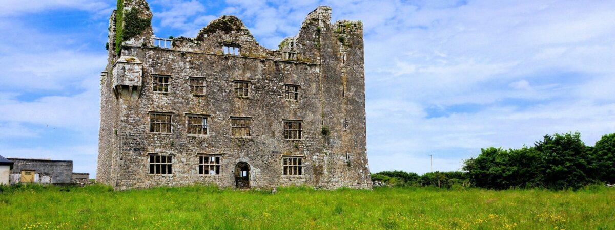 Castle (in ruins)Castle, unclassified · 1.3 mi
Explorer Tom Castle in Fahee North is a garrison castle, which sounds like a very serious job title for a pile of dirt. Someone…
 Stone head in Glencolumbkille SouthStone head · 1.5 mi
Explorer Tom Stone head in Glencolumbkille South is the original location record for a head that’s now somewhere else, probably…
 Grave YardGraveyard · 1.5 mi
Explorer Tom Graveyard in Glencolumbkille South has a carved stone head hiding in the wall. Legend says if you don't wave, you get…
 Saint Columba's Catholic ChurchChurch/chapel · 2.5 mi
Explorer Tom Saint Columba's Catholic Church in Crughwill is basically the village's living room, just with better lighting and more…
 Mapped cemeteryCemetery · 2.5 mi
Explorer Tom Mapped cemetery in County Clare hates delivery drivers who park their vans too close to the headstones, so keep your…
More archaeology and monuments in County Clare · All of County Clare

What do you know about this place?Tap to add a comment or ask a question