
What is recorded here
Marked on the 1837 and 1914 editions of the OS 6-inch map, and described as 'Corskeagh Tree' in gothic lettering on both, which is thought locally to mean 'odd or singular bush'. It is situated on a S-facing slope of Mullaghcreigha Hill. This is a hollow ash tree (circumference of bole 4.6m) which was thought to have been planted in the early 17th century to mark the site of an ancient mound (OS Name Books). It is known locally as the Hanging Tree because of a strong horizontal branch which is c. 2m over the ground. Locally it is said that a priest, thought to have been a Fr. Kelly, returning from saying Mass at Mullagherrigha Church (RO023-118----), c. 1.1 km to the NW, to Kilmore, c. 1km to the SE, was captured here and hung from the low branch. It is recorded that Bernard O’Kelly OP, a lay-brother of the Dominican Order from Roscommon, was hung in 1653 (Gillooly 2019).
Compiled by: Michael Moore
Date of revised upload: 18 April 2018
Amended: 7 October, 2019
A local holy well or ritual site; wider significance not recorded.
The monument record does not grant public access. Check the route and ask the landowner before entering private land.
- What survives
- Recorded monument
Places near here
 Caslans WoodForest · 764 yd
 Embanked enclosureFairy fort / earthen ringfort · 842 yd
 Lettreen WellHoly well · 1076 yd
 Mullaghcreigha RC ChapelChurch · 1163 yd
 CastleCastle, unclassified · 1353 yd
 Pedunculate OakPedunculate Oak · 1747 yd
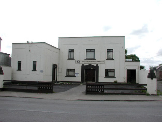 ballroom/dance hall/discoballroom/dance hall/disco · 1.1 mi
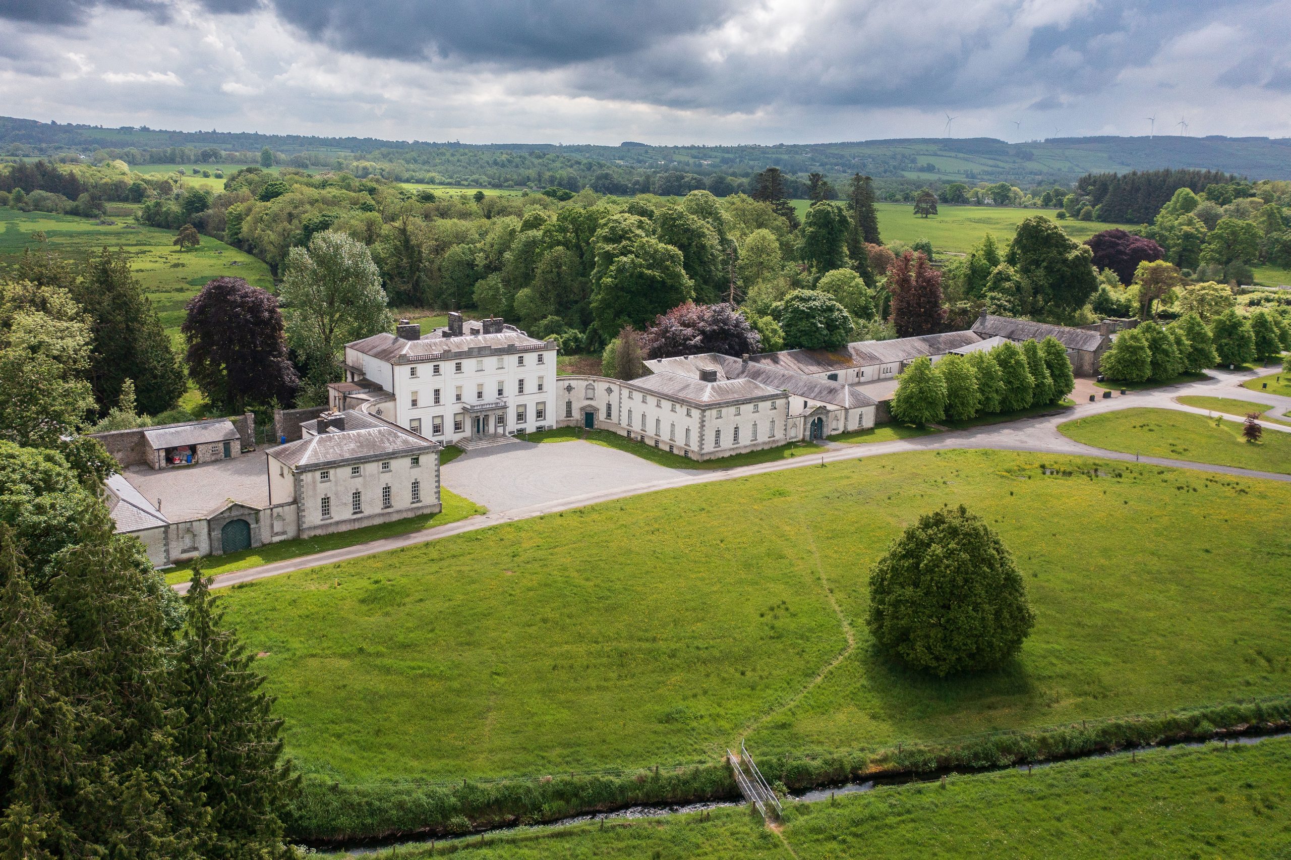
 Strokestown ParkHeritage attraction · 1.3 mi
 Strokestown House GardensHeritage attraction · 1.3 mi
 Goat IslandIslet · 4.8 mi
 Garrymond IslandIslet · 5.1 mi
 Ecclesiastical enclosure in KildallogeEcclesiastical enclosure · 1143 yd
Other information
Photo: Credit not shown in the picture search · Rights wording not checked; contact us if this picture should be removed