What is recorded here
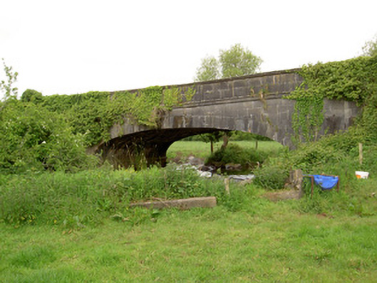
On flat floodplains of the Multeen River located to the S in an upland region. Only the lower courses of the S wall (wall T 0.7m; L 5m; H 1.3m) of the corn mill survive in the area marked on the 1903 OS 6-inch map along with possible mill pond and millrace which can be traced in the field immediately S of the wall. Possible retaining wall of either mill race or pond can be seen in field immediately S of surviving wall. Multeen river appears to have been diverted into silted up mill race further upstream down along the millrace to the S of the mill where it joined back up with the river at the bridge (TS051-026----) over the Multeen River. Depicted as a corn mill on the 1840 ed. OS 6-inch map. Water mill mentioned in the Civil Survey of 1654-6 (Simington 1934, vol. 2, 83) and was described by Seymour (1917, 37-8) 'as consisting of the foundations of a more recent mill, while a considerable length of the old mill-race can be traced back along the slope of Rossacrow and parallel to the river'.
Compiled by: Jean Farrelly
Date of upload: 26 August 2011
The monument record does not grant public access. Check the route and ask the landowner before entering private land.
- What survives
- Recorded monument
Places near here
 Bridge in Ballinvasa,knockgorman,rossacrow (donohill Par.)Bridge · 98 yd
 Hawarden Bridgebridge · 463 yd
 IndicatedEnclosure · 798 yd
 CastleCastle, unclassified · 1.0 mi
 Enclosure in Ballysheeda (donohill Par.)Enclosure · 1.0 mi
 Ballysheeda Castle (in Ruins)Castle, tower house · 1.1 mi
 Green Field ParkWood · 1.4 mi
 Maudemount BogWood · 1.8 mi
 Soloheadbeg Ambushambush · 3.1 mi
 Soloheadbeg Ambush SiteMemorial · 3.7 mi
 GortnageraghMountain / peak · 5.7 mi
 Oola HillMountain / peak · 5.8 mi