
What is recorded here
In 1612 Robert Dillon of Cannorstown was granted 'a castle, a bawn, a mill, 20 houses' (Cal. pat. rolls Ire., Jas I, 228) in the townland of Cumerstown. In 1682 Sir Henry Piers of Tristernagh wrote that at the E end of Lough Lene there 'issueth out another considerable stream which in one quarter of a mile turneth a mill at Cummestown' (Vallancey 1786, 10).
Depicted on OS 6-inch map probably the result of the levelling of the watercourse or tail race of the Corn Mill depicted on the 1837 ed. OS 6-inch map. This post medieval corn mill may have been located on site of the medieval mill.
Compiled and revised by: Caimin O'Brien
Date of revised upload: 6 December 2016
The monument record does not grant public access. Check the route and ask the landowner before entering private land.
- What survives
- Recorded monument
Places near here
 CastleCastle, tower house · 145 yd
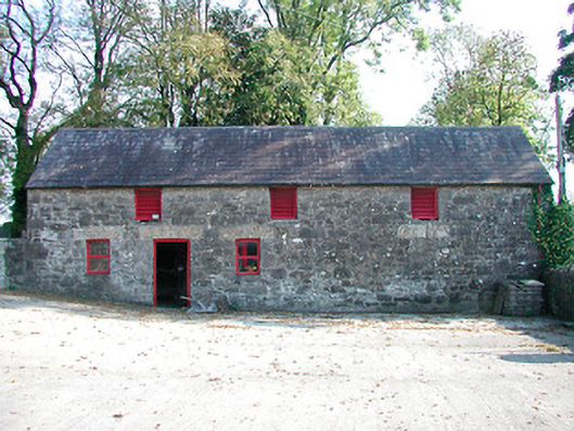 outbuildingoutbuilding · 1025 yd
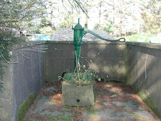 water pumpwater pump · 1.1 mi
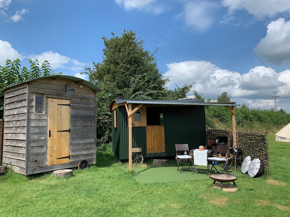 Hut site in CummerstownHut site · 1.2 mi
 The FurzeForest · 1.4 mi
 CaltraghEcclesiastical enclosure · 1.4 mi
 Noggin HillMountain / peak · 1.5 mi
 The Sloe HillMountain / peak · 1.9 mi
 Bawn in Scurlockstown (delvin By.)Bawn · 1.9 mi
 South East GateHeritage attraction · 2.2 mi
 St Feichin's MillHeritage attraction · 2.4 mi
 European ashEuropean ash · 2.4 mi
Other information
Photo: Credit not shown in the picture search · Rights wording not checked; contact us if this picture should be removed