
What is recorded here
Abandoned 2-storey structure in Massytown, Macroom, named 'Corn Mill' on 1842 OS 6-inch map. According to local information built by Waltons in 1750, whose family later built oat mill (CO071-049002-). Rectangular structure (24m N-S; 6m E-W) with lower 2-storey grain-drying kiln added to N and 2-storey residential block added to E, making T-shaped ground plan. Wheel-pit (Wth 1.7m) within now houses a small inward flowing turbine fed by narrow pipe from mill pond (dry) to W. Tail race arch in E elevation. Turbine powered two pairs of millstones at 1st floor via belt and pulley system. Two wooden H-support frames for millstone on ground floor; western spindle and 1st floor stones gone, eastern spindle to 1st-floor bedstone in position with wooden hopper and long shoe. Sandstone runner millstone leans against wall on 1st floor and another lies in yard to SW. Secondary line shaft with series of pulley wheels hang from 1st-floor ceiling transmitted power to Harrison McGregor metal grinder and pair of encased millstones with iron hopper, both on ground floor. Other mill features include weighing scales, enclosed wooden elevators and separator. Grain-drying kiln has central brick-lined furnace on ground floor, 1st floor of stone slabs resting on wooden beams with ceramic grain drying kiln tiles above. The above description is derived from the published 'Archaeological Inventory of County Cork. Volume 3: Mid Cork' (Dublin: Stationery Office, 1997). In certain instances the entries have been revised and updated in the light of recent research. Date of upload/revision: 14 January 2009
The monument record does not grant public access. Check the route and ask the landowner before entering private land.
- What survives
- Recorded monument
Places near here
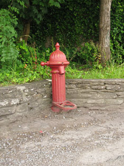 water pumpwater pump · 91 yd
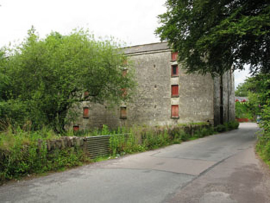 mill (water)mill (water) · 109 yd
 Macroom WalksVisitor information · 381 yd
 Macroom Castle (in Ruins)Castle, tower house · 509 yd
 Burial Gd (Disused)Burial ground · 515 yd
 Battle of Macroombattle · 722 yd
 Fulacht fia in Gurteenroe (muskerry West By.)Fulacht fia · 1422 yd
 Neill's WoodWood · 1.4 mi
 Sessile OakSessile Oak · 1.5 mi
 Dundareirke Castle (in Ruins)Castle, tower house · 2.6 mi
 Clonavrick CliffCliff · 2.9 mi
 Priest MemorialMemorial · 5.3 mi
Other information
Photo: Credit not shown in the picture search · Rights wording not checked; contact us if this picture should be removed