What is recorded here
One mill is marked on the Down Survey map (1654-8) at the S end of Dungulph townland, and a mill is listed at Dungulph in the Civil Survey (1654-5) (Simington 1953, 193). A flour mill is recorded just NW of Dungulph castle (WX045-041----) on the 1839 ed. of the OS 6-inch map, but a corn mill in ruins at the S end of the townland is more likely to be on the site of the 17th century mill. The mill was rebuilt and a functioning mill is described on the 1925 ed. of the OS 6-inch map. This is a three storey, three bay structure, probably 19th century in date, now used as a store.
Compiled by: Micahel Moore
Date of upload 23 July, 2013
The monument record does not grant public access. Check the route and ask the landowner before entering private land.
- What survives
- Recorded monument
Places near here
 mill (water)mill (water) · 1 yd
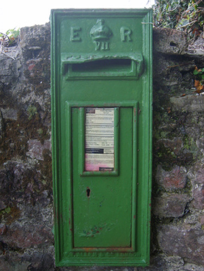 post boxpost box · 346 yd
 Marys WellHoly well · 532 yd
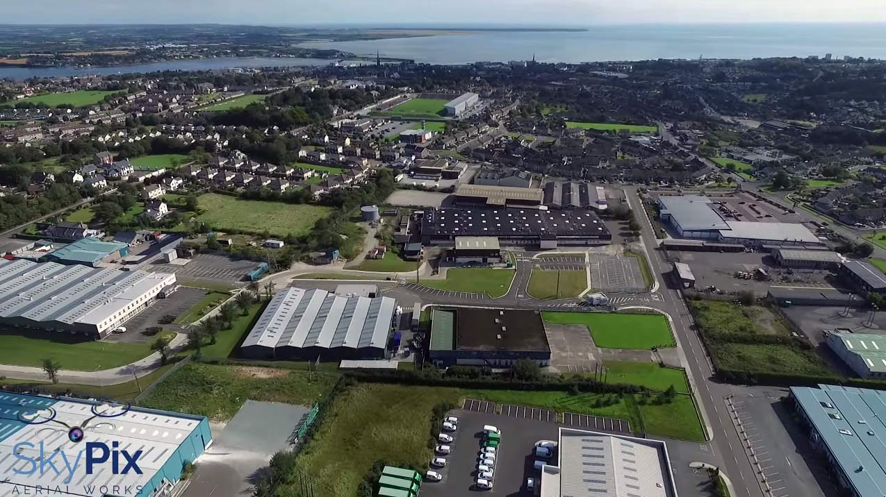 Enclosure in Ballygow (shelburne By.)Enclosure · 1031 yd
 AshgroveVisitor information · 1.2 mi
 Fethard CastleCastle, hall-house · 1.4 mi
 CastleCastle, motte · 1.4 mi
 Grange BeachBeach / strand · 1.5 mi
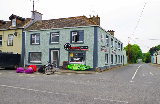 Hook Tourism (Fethard Office)Visitor information · 1.5 mi
 Booley Bay BeachBeach / strand · 2.0 mi
 1798Memorial · 2.1 mi
 Saltmills Explosion MemorialMemorial · 2.1 mi