
What is recorded here
Situated on the N bank of the River Suir at Cabragh. A nineteenth-century three-storey structure in ruins, composed of roughly coursed limestone rubble with roughly cut blocks forming quoins. Basically T-shape in plan with a small annexe projecting from the S end of the E wall. The main rectangular block is divided into two chambers, N chamber 3.6m N-S x 5.15m orientated E-W internally, S chamber 6.6m N-S. The W block, at right angles, is 5m N-S x 4.45m E-W, walls 0.5-0.6m thick. Close-set putlogs in the N and S walls of the W block indicate floors using regular cut planks of late eighteenth/nineteenth century date. Evidence of internal plaster best survives on the N wall of the W block. Not much brick was used except as infill, though it was used as a surround above the doorway at the N end of the W wall of the E block. There are opposing doors at the E end of the N and S walls in the W block. This building also has a window in the centre of the N, S and W walls from 1st floor up, with a window in the centre of the S wall at ground level. The larger E block has two windows in the W wall at 1st, 2nd and 3rd-floor level and one at ground, 1st and 2nd-floor level in the N wall. Probably built on the site of an earlier mill which is mentioned in the Civil Survey (1654-6) (Simington 1931, vol. 1, 55).
The above description is derived from 'The Archaeological Inventory of County Tipperary. Vol. 1 - North Tipperary' compiled by Jean Farrelly and Caimin O'Brien (Dublin: Stationery Office, 2002). In certain instances the entries have been revised and updated in the light of recent research.
Date of upload/revision: 22 September 2008
The monument record does not grant public access. Check the route and ask the landowner before entering private land.
- What survives
- Recorded monument
Places near here
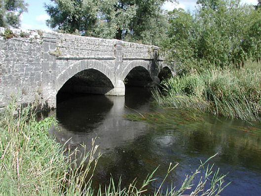 Cabragh Bridgebridge · 51 yd
 Castle (in ruins)Bawn · 411 yd
 bridgebridge · 562 yd
 Enclosure in CabraghEnclosure · 1369 yd
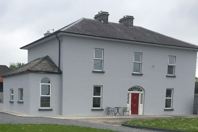 Habitation site in BeakstownHabitation site · 1539 yd
 Wildlife CorridorWood · 1.1 mi
 Beakstown HouseCastle, unclassified · 1.3 mi
 WoodlandWood · 1.5 mi
 Cormackstown Heritage CentreMuseum · 1.7 mi
 Lár na PáirceMuseum · 1.8 mi
 Killough Hill (site of)Mountain / peak · 3.2 mi
 Horse and JockeyVisitor information · 4.4 mi
Other information
Photo: Credit not shown in the picture search · Rights wording not checked; contact us if this picture should be removed