
What is recorded here
The corn mill depicted on the 1837 ed. OS 6-inch map may have been built on the site of the medieval mill. This corn mill stands 60m N of Cannorstown Castle (WM015-019----) and bawn (WM015-019001-). However it is possible that the medieval mill was located somewhere else within the townland of Cannorstown. The medieval mill is mentioned in a seventeenth century land grant to Robert Dillon of Cannorstown Castle. In 1612 Robert Dillon was granted 'a mill and 1 plowland' (Cal. pat. rolls Ire., Jas I, 228) in the townland of Cannorstown. In 1621 Robert Dillon of Cannorstown surrendered to the Crown his lands in Cannorstown including 'the water-mill' (Cal. pat. rolls Ire., Jas I, 513). In the same year the castle and lands of Cannorstown including 'the bawn (WM015-019001-), 1 stone hall (WM015-019----), 1 orchard, 1 water-mill and 1 carucate of land' were granted to Sir William Parsons (ibid.).
Compiled by: Caimin O'Brien
Date of upload: 24 July 2015
The monument record does not grant public access. Check the route and ask the landowner before entering private land.
- What survives
- Recorded monument
Places near here
 Bawn in Cannorstown (hogan)Bawn · 95 yd
 OutlinedFairy fort / earthen ringfort · 419 yd
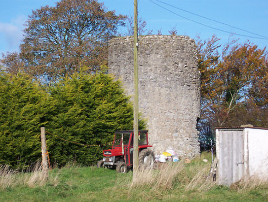 mill (wind)mill (wind) · 626 yd
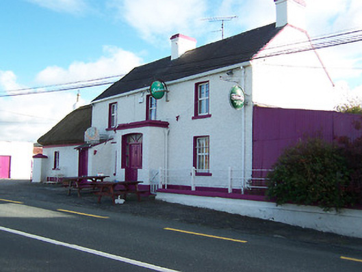 Three Jolly Pigeonshouse · 664 yd
 CrossMass-rock · 1023 yd
 Kilfaughny CastleCastle · 1.3 mi
 Noughaval CemeteryArchaeological place · 2.3 mi
 European BeechEuropean Beech · 3.0 mi
 Leveret IslandIslet · 3.2 mi
 InchbofinIslet · 3.9 mi
 Portlick Millennium ForestWood · 3.9 mi
 Killinure BayBay · 4.0 mi
Other information
Photo: Credit not shown in the picture search · Rights wording not checked; contact us if this picture should be removed